Pacific NW Road Trip Travels
Introduction
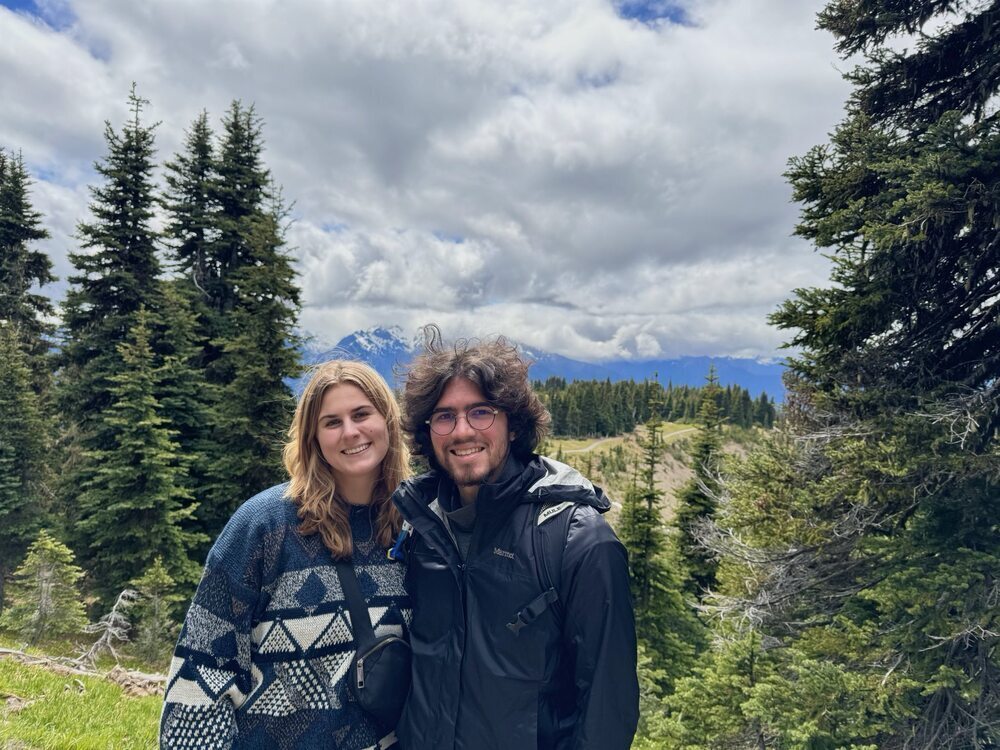
Hey! My name is Grace, and this documents my road trip in the Pacific NW with my boyfriend Alec. This will highlight our favorite hikes, camp sites, activities, and food stops along our journey.
Washington
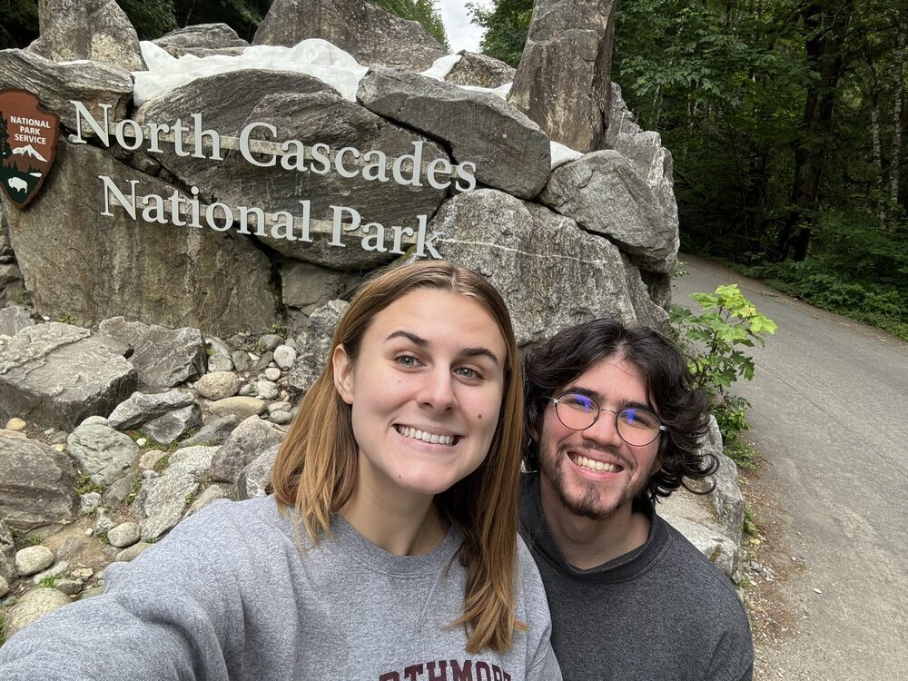
North Cascades National Park
Thunder Knobb Trail
We started our journey by flying into Seattle, renting a campervan, and driving up to the North Cascades.
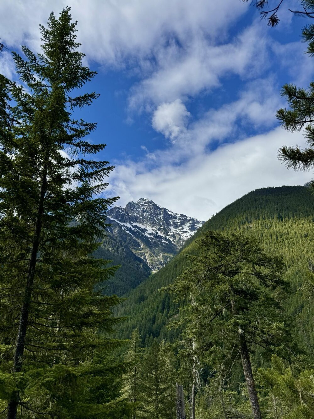
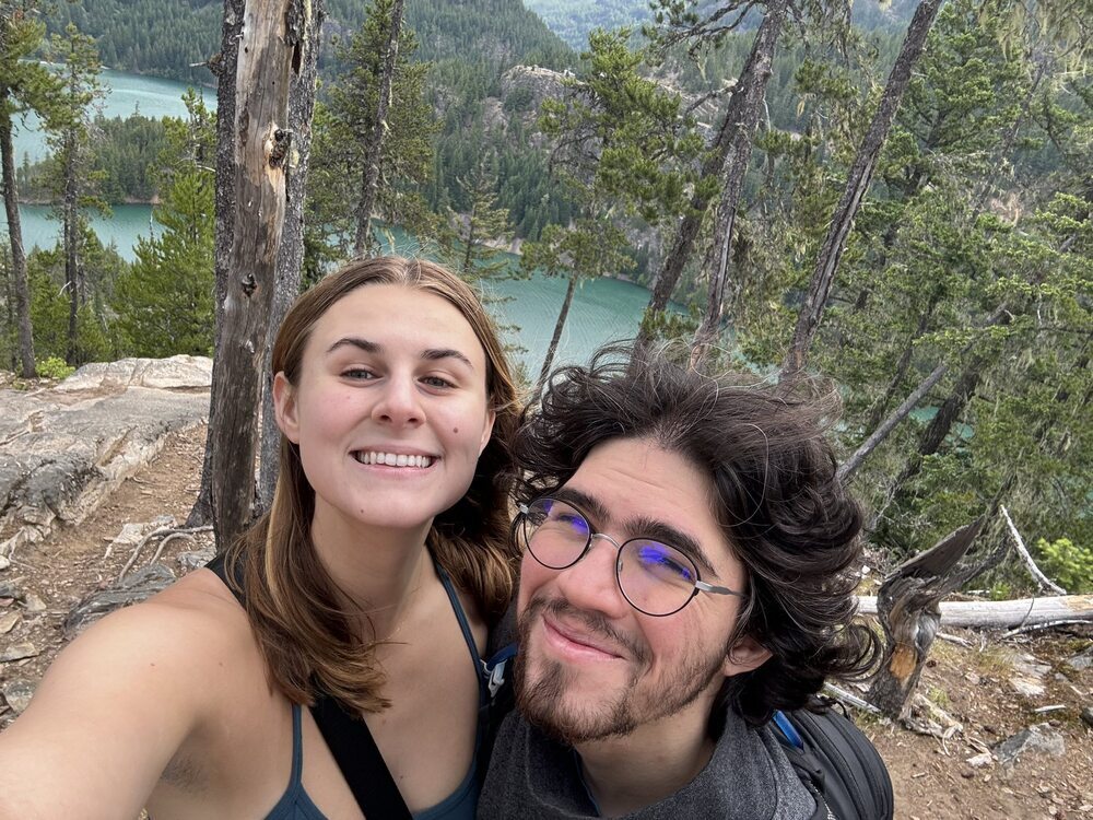
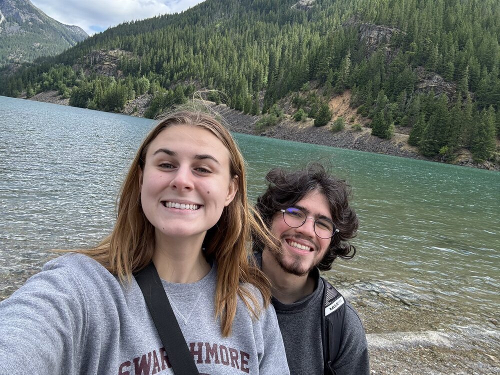
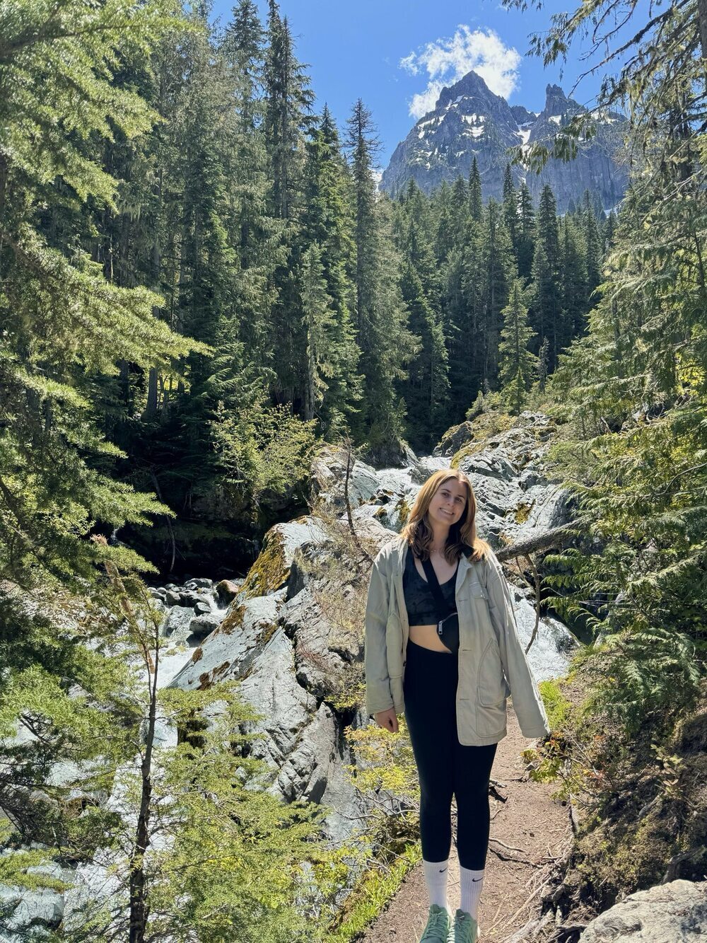
We spent our first night at North Colonial Creek Campground, which is a beautiful camp on the water. In the morning we hiked the Thunder Knobb Trail, which left directly from our campsite. The hike took around 1.5 hours. First, we climbed up to an outlook of a snowy tipped mountain.
Then, we kept going up to end the hike at a beautiful view of the very light blue Diablo Lake.
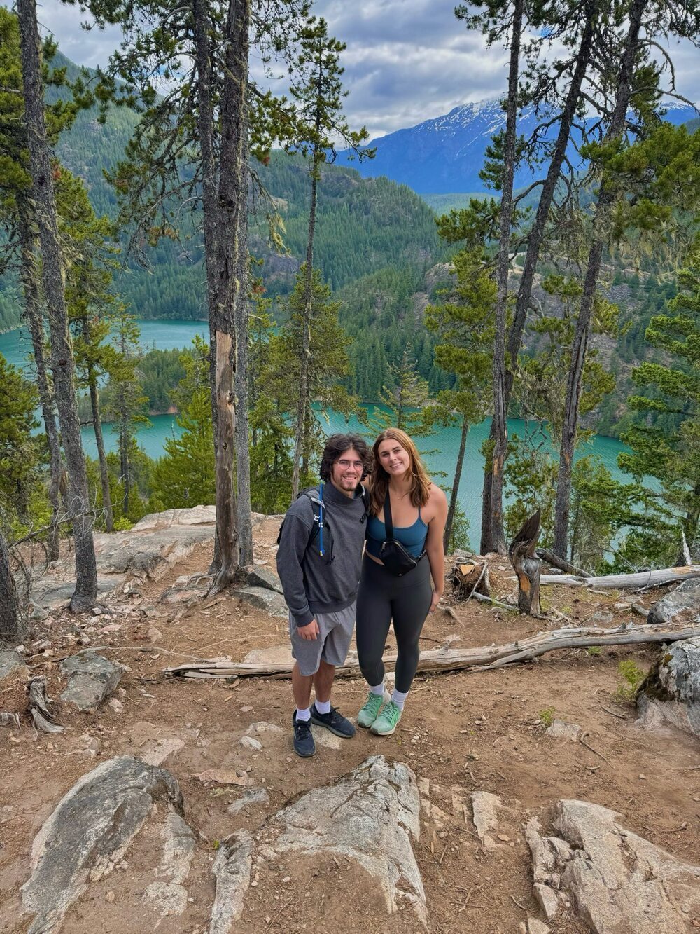
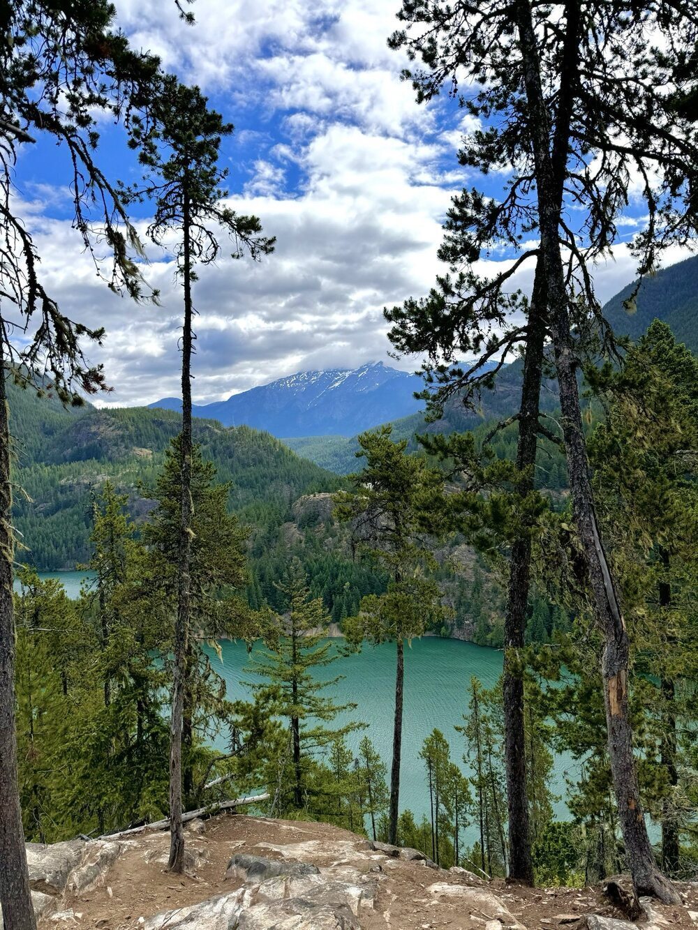
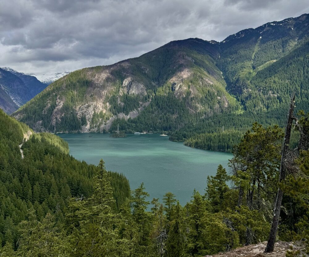
This hike was short and sweet with great views! We loved the convenience of it leaving from our campsite, and it was a great way to start the morning off.
Blue Lakes Trail
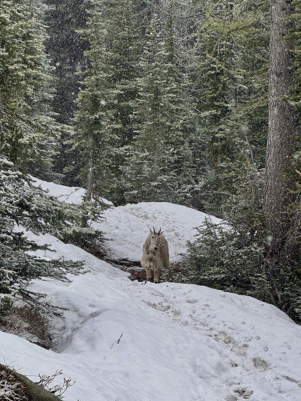
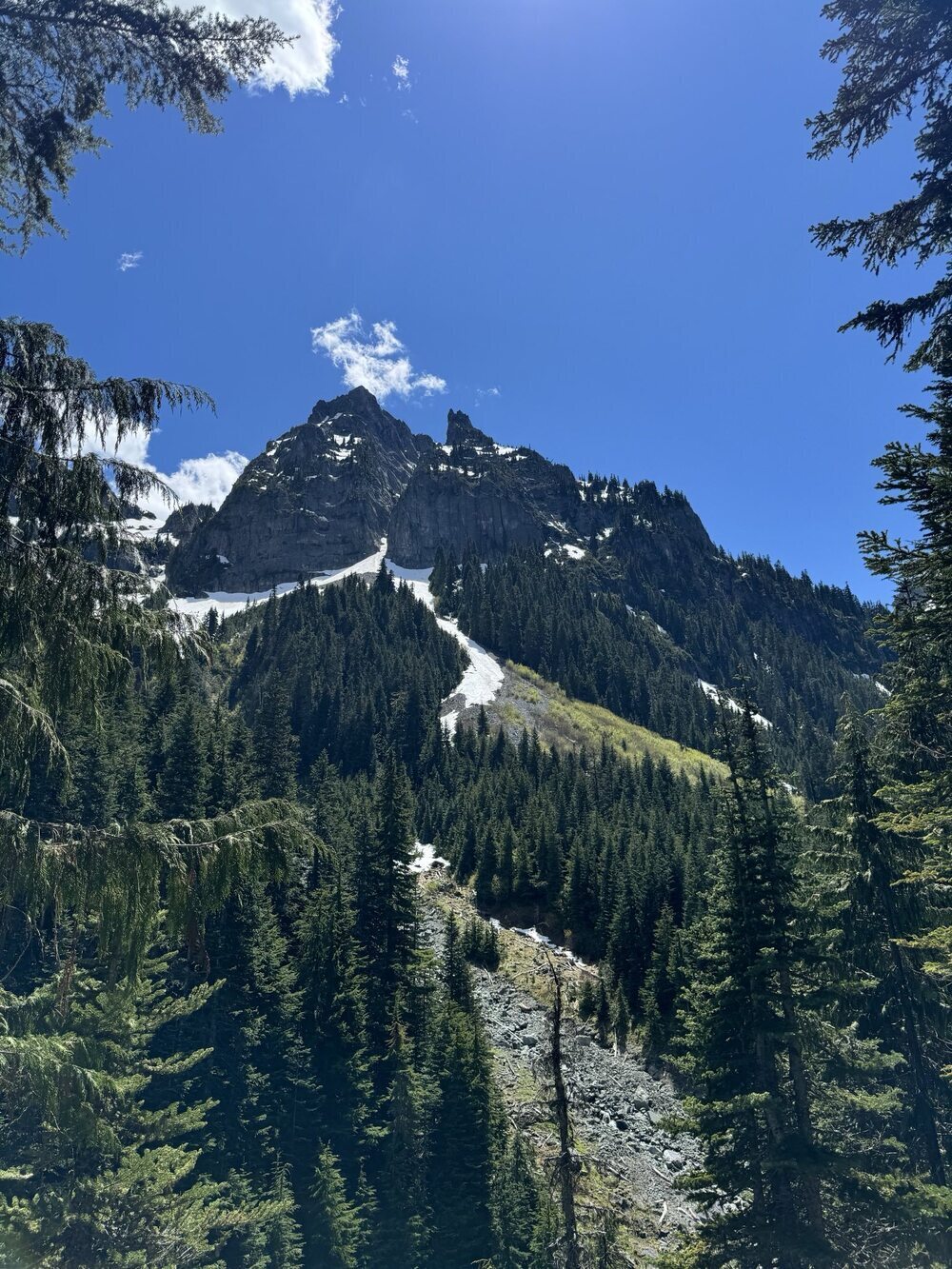
We hiked the Blue Lakes Trail in mid-June. The trail was beautiful, but it was still quite snow covered. If you don't have snow gear, I would recommend holding off on this trail until July or August. This trail is a steady climb to a beautiful blue lake with reflected views of the mountains. However, right before we reached the final viewpoint of the trail, we saw a mountain goat on the trail. He started to follow us, so we turned back before reaching the final viewpoint to avoid any potential issues with the mountain goat. We learned from other hikers on our return that this mountain goat is friendly and frequents the trail often because people have been feeding him. We quite enjoyed this trail and the opportunity to see a mountain goat. We would love to return to this trail in July or August for a less snowy hike and for a chance to make it to the final viewpoint.
North Cascades Scenic Highway
To finish up our time in the North Cascades, we drove the North Cascades Scenic Highway for some great views. We then followed the highway out of the park and to our next stop.
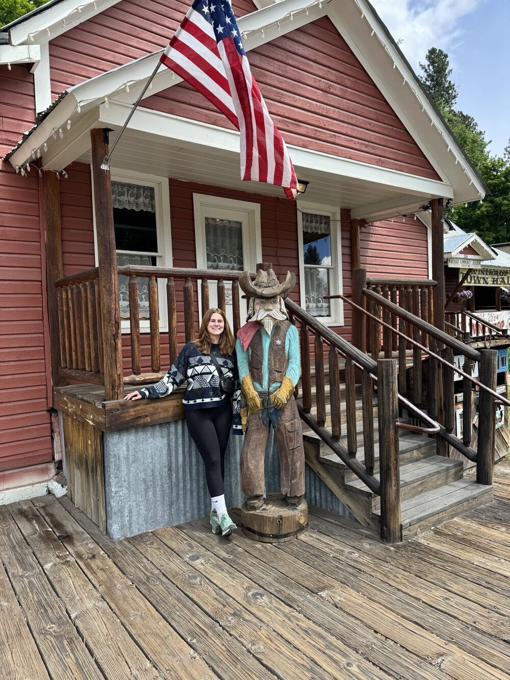
Winthrop
Winthrop is a super cute old fashioned style town just outside of the North Cascades. We stopped here to walk around, check out the outdoors store, stop in the candy store, and grab a bite to eat. We had lunch at Oliver's Artisan Kitchen, which had great sandwiches, crepes, and hot chocolate (which was especially needed after our snowy hike on the Blue Lake Trail).
Winthrop was our last stop in the North Cascades. The North Cascades was our favorite National Park in Washington, and we would love to come back and do more of the hikes it has to offer.
Olympic National Park
Lake Quinault
Olympic National Park is a very large and diverse national park. We used the GuideAlong app to help navigate our time in Olympic. We started our trip at Lake Quinault where we did a short rainforest nature walk and then drove a scenic loop around Lake Quinault. Our rainforest walk was called the Rainforest Nature Trail, and we would say it's definitely worth a stop. The scenic drive around the Lake was nice, and we did pop out for a scenic waterfall stop. However, the road around the lake had a lot of potholes, which was a bit hard on our campervan, so we do not plan to return to this drive.
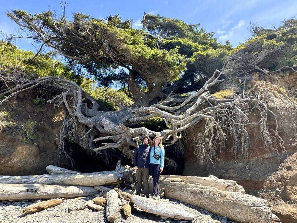
Tree of Life
After Lake Quinault, we drove toward the shore and made a stop at Kalaloch Beach to see the Tree of Life. The Tree of Life had all the soil beneath it blown out by a big storm, so it appears to be suspended in mid-air. We thought this was a fun stop to make.
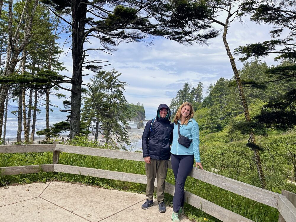
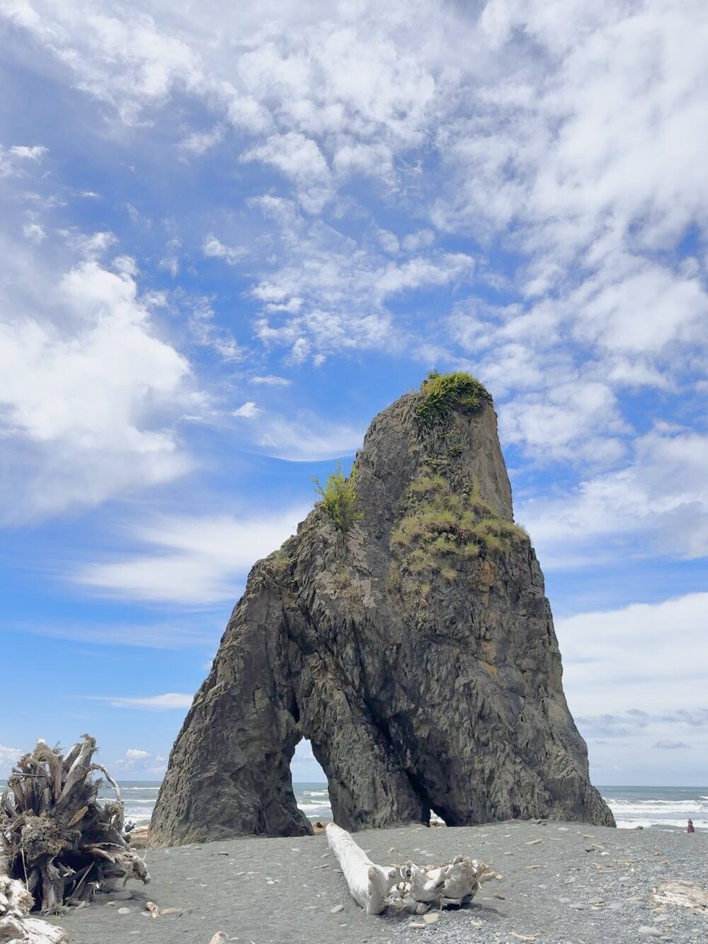
Ruby Beach
We continued along the coast until we hit Ruby Beach, which was a nice lunch stop. We stopped at an overlook before walking down to the beach and appreciating the cool rock formations by the shore.
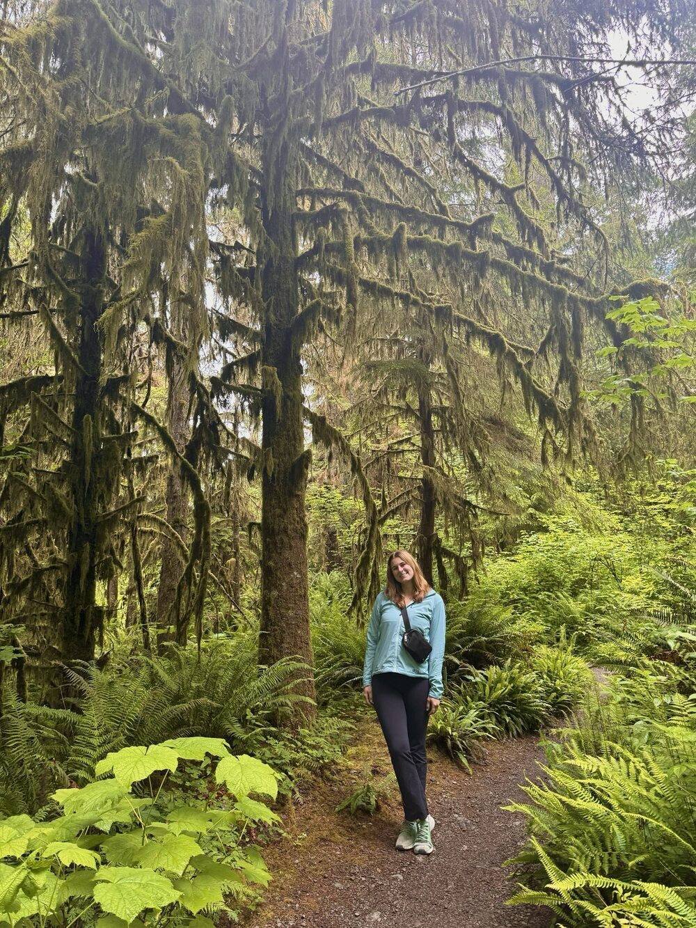
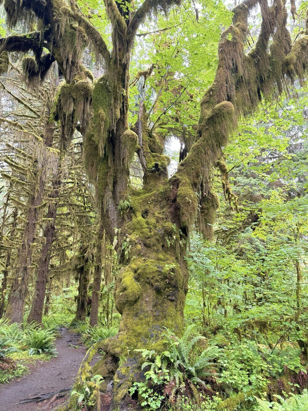
Hoh Rainforest
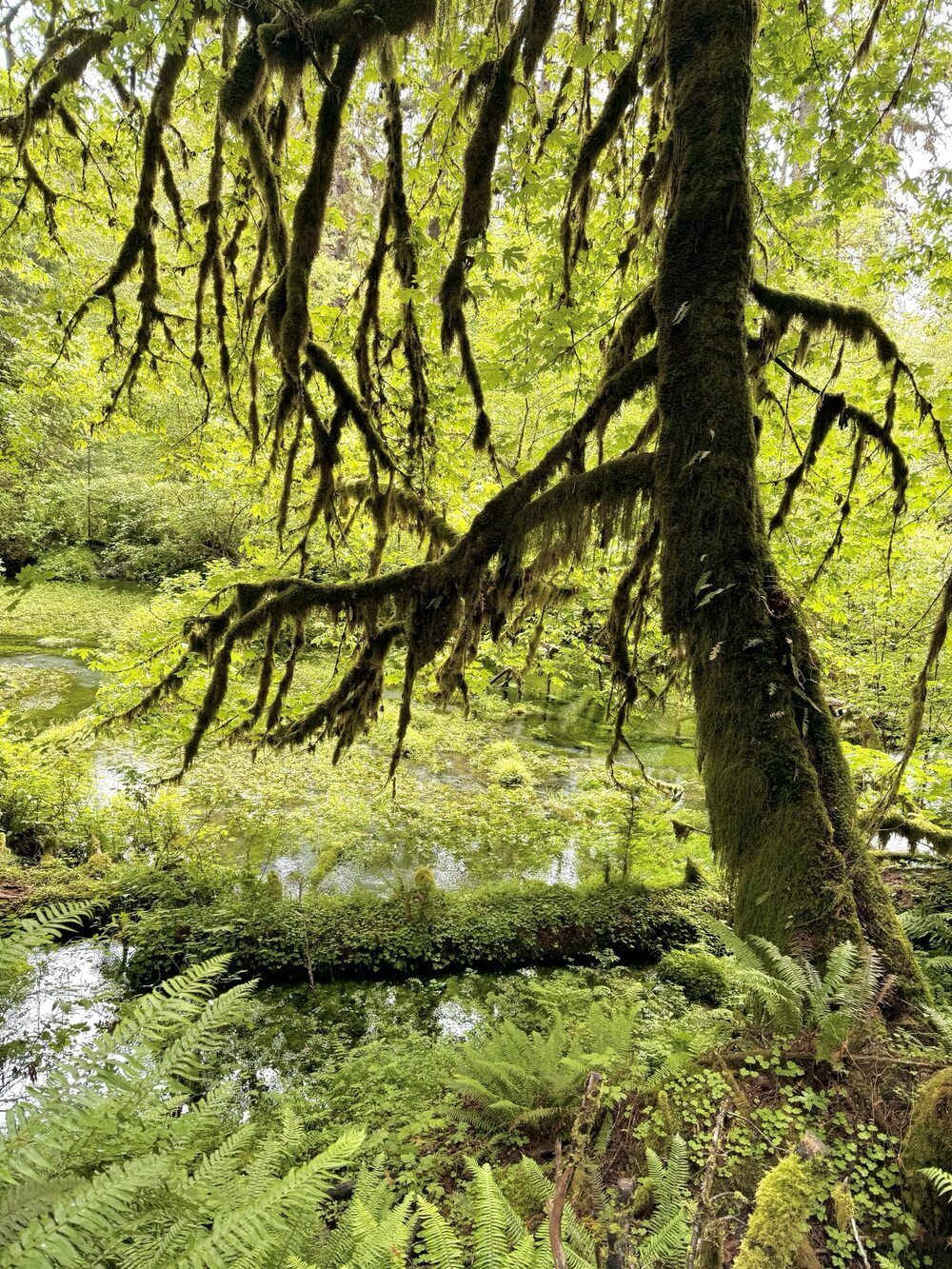
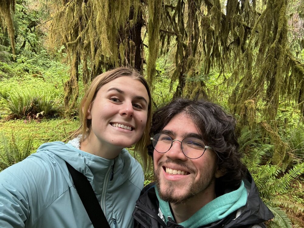
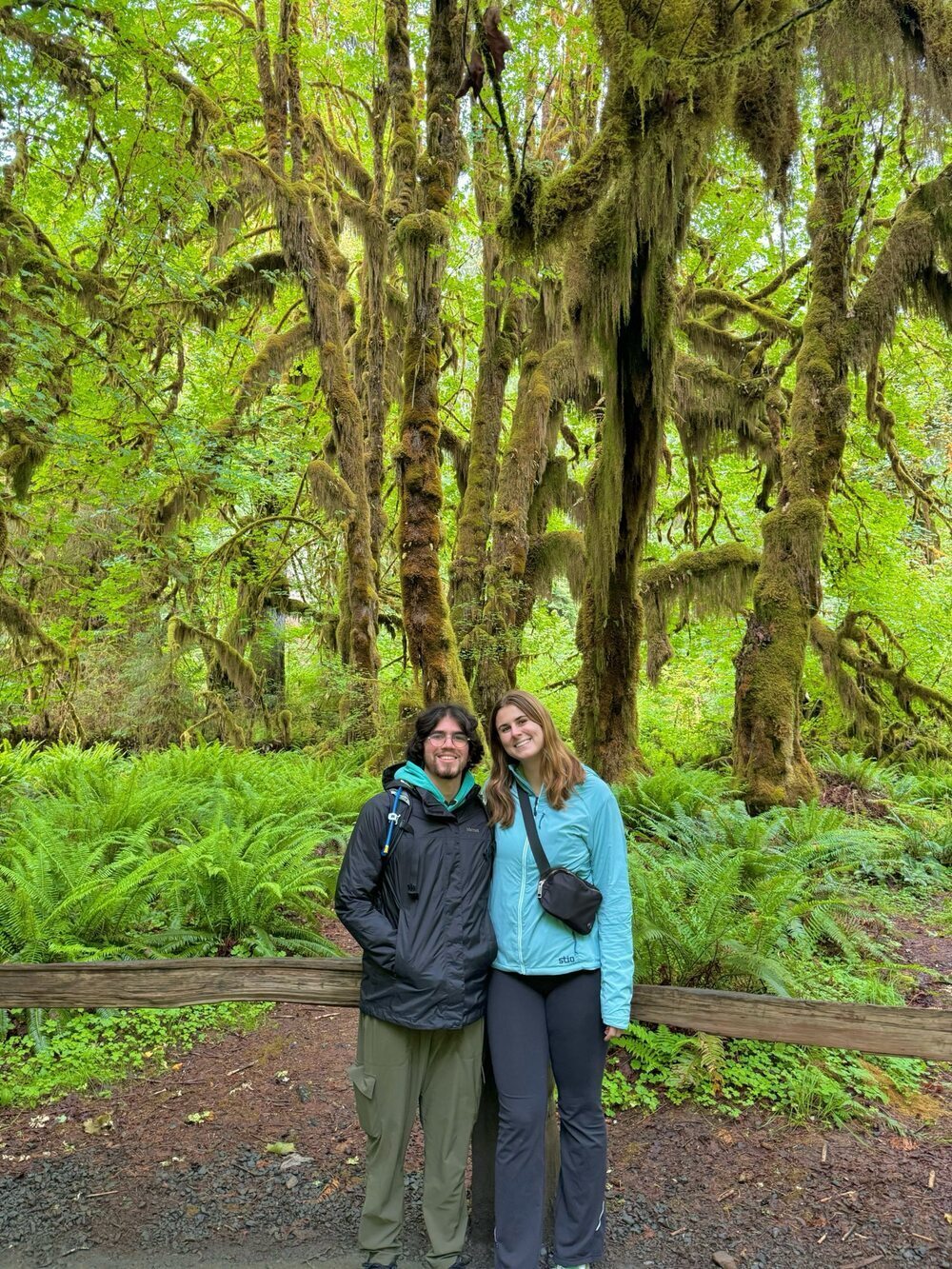
We started our time in the Hoh Rainforest at the Hall of Mosses. This was a short loop that was very popular, but it was a great way to see lots of large trees that were dramatically draped in moss.
Next, we started along the Hoh River Trail. This trail is 17.3 miles long and is intended for a short backpacking trip to Glacier Meadows. The trail was very muddy, so make sure to bring waterproof shoes if you make this journey. We hiked just a bit into the trail, but we would love to come back and do this one as a backpacking trip.
Olympic Adventure Campgrounds
After Traveling up from Lake Quinault to the Hoh Rainforest, we spent the night at Olympic Adventure Campgrounds, which we booked through HipCamp. The campsite had a cute center where you could buy firewood and souvenirs. The campsites were surrounded by trees, and the campsite offered hot showers for five dollars.
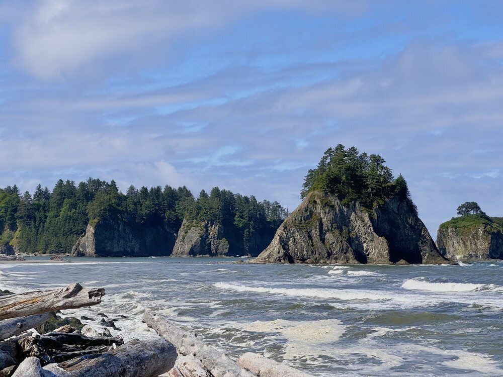
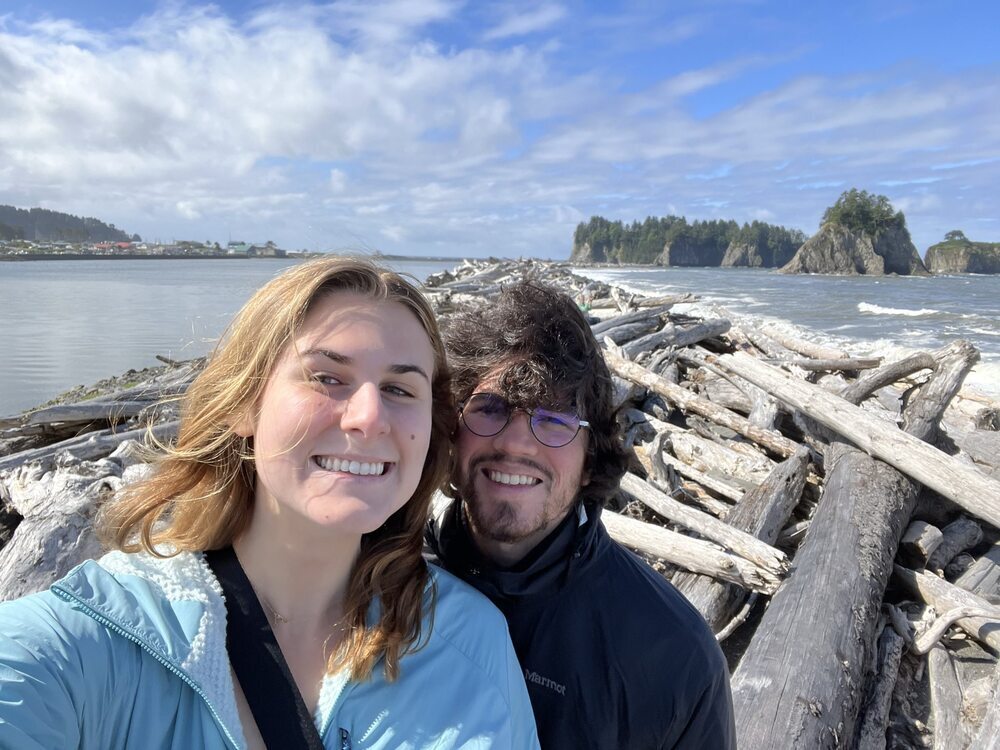
Rialto Beach
The next morning we drove just 20 minutes to Rialto Beach, and then, we walked along the shore. We loved seeing the cool rock formations along the beach.
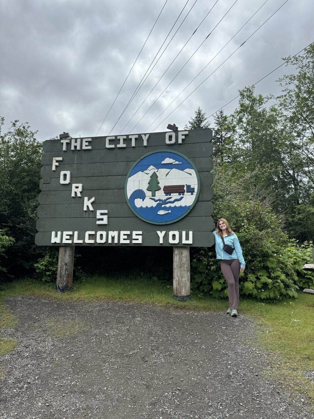
Forks, Washington
After Rialto Beach, we went into Forks to check out the Twilight Collection. However, the Twilight Collection does not open till 12:00 PM in the summer, so we instead went to the Twilight themed gift store across the street.
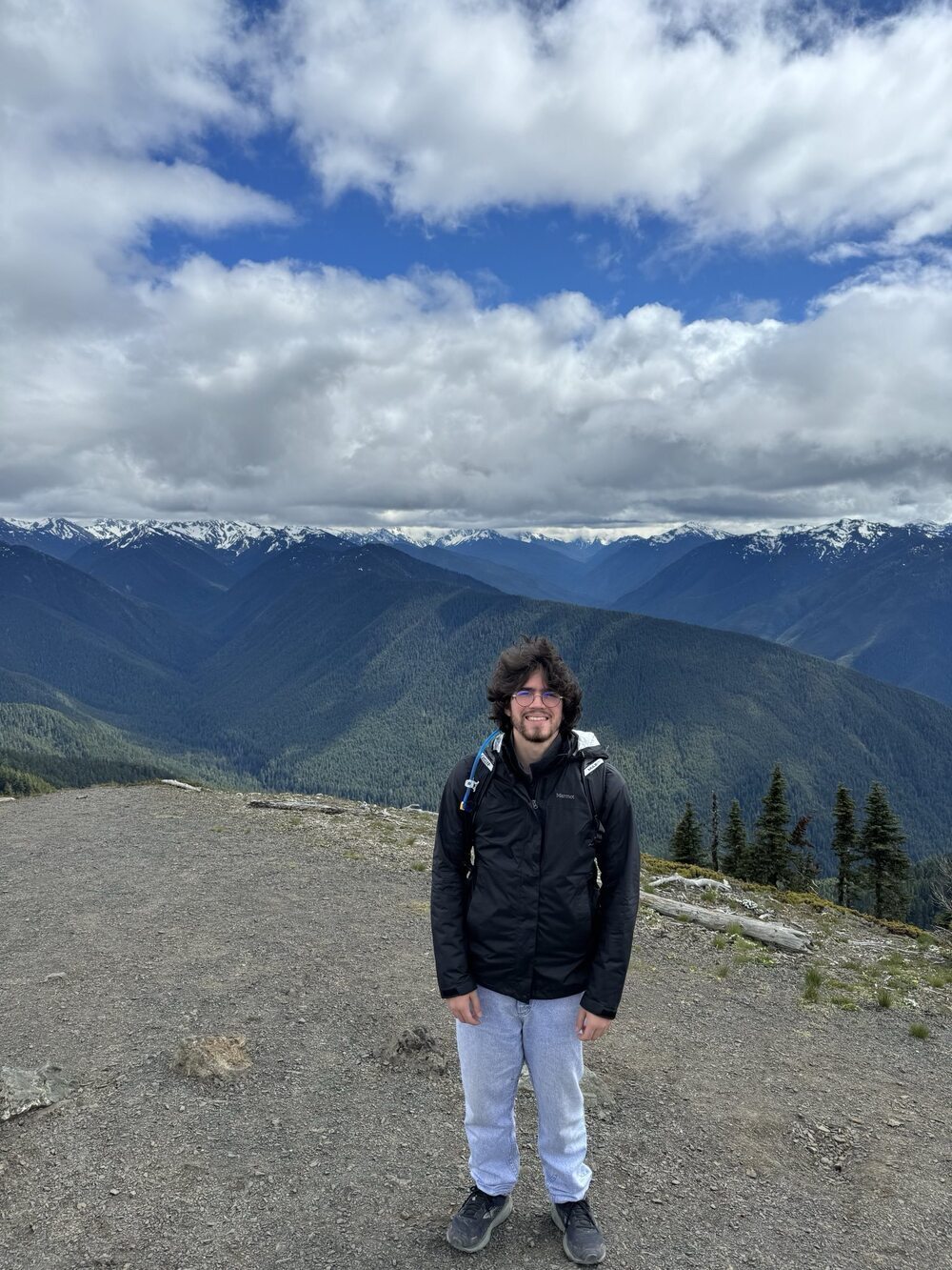
Hurricane Ridge
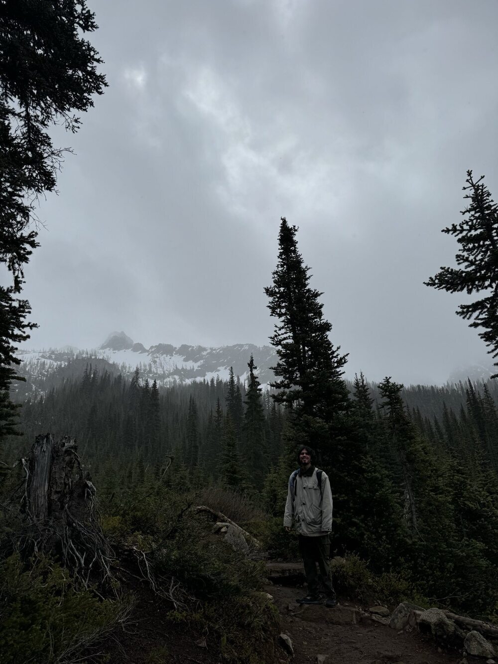
Next, we drove up to Hurricane Ridge. The drive was steep and foggy (from driving in the clouds!), but the view at the top of Hurricane Ridge was well worth it. We were blown away by the amazing alpine views and we loved hiking on the Meadow Trails. This was our favorite area of the park, and we would love to come back for longer to do some more of the hikes in this area.
Coho Campground
Coho Campground is located in Olympic National Forest and was booked through Recreation.gov. It was a very scenic campground where you could walk to the water and were surrounded by mossy trees. Olympic National Park was a great time where we saw rainforests, beaches, and alpine views. The park is very large and the drive between stops was not as scenic. We appreciated how many different sites we were able to see while at Olympic, but if we come back to Olympic in the future, we would probably concentrate our time in a specific area of the park to reduce driving time. We especially would like to spend more time in Hurricane Ridge. We did not get a chance to visit the Sol Duc Valley, Elwha Valley, or the Dungeness Spit, so we may also add those in as stops on a future trip.
Mount Rainier National Park
Eatonville
We started our trip to Mount Rainier by driving into Eatonville, which is a small town with a great view of Mount Rainier. While in Eatonville, we stopped at the Double T Meats to get some delicious garlic pepperoni for our trip. We then explored the town and stopped at Cruiser Cafe for some great fried potato skins and fries with gravy.
Two Frog Bog
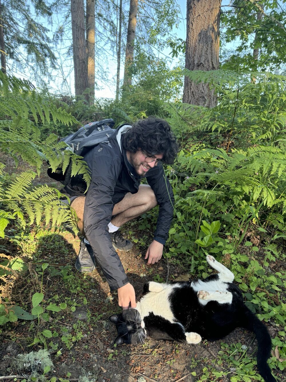
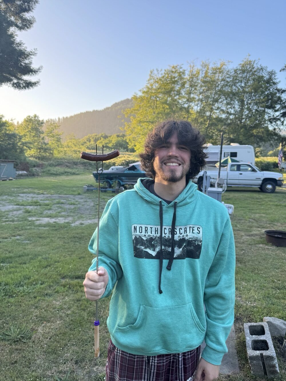
We loved camping at the Two Frog Bog. They have tents set up for you or you can stay in a decorated small cabin. There is a public kitchen, showers, hammocks, a garden, and a group fire pit. The hot water in the showers is a little finicky and showering in the morning has optimal hot water. The parking was limited, but otherwise, this was a great site with lots to offer. There is also a very friendly cat who loves pets.
Summerland Trail
We originally planned to hike the Naches Peak Loop, but the trail was completely covered in snow and was hard to follow. We would love to come back to do this trail in July or August. We instead ended up doing the Summerland Trail, which climbed steadily up to great mountain views and river overlooks.
Enumclaw
On the way out of Mount Rainier, we stopped in Enumclaw where we found the Local Coffee House, which had amazing lattes and great donut holes. We had a great time visiting Mount Rainier, and we would love to come back to see more of the trails in July or August.
Oregon
Stopping for Donuts in Portland
Portland is famous for its donuts, and we stopped at two spots to see if the donuts lived up to the hype. First, we stopped at Pip's Donuts and Chai. Pip's had many flavors of mini donuts; we especially liked their seasonal strawberry rhubarb mini donut. We also tried the chocolate chai, which was filled with sweet chai and chocolate flavors. Next, we headed to Blue Star Donuts, which is known for making delicious brioche donuts in unique flavors. We tried the Old-Fashioned Buttermilk, the O.G., and the Chocolate Bergamon Old-Fashioned. We thought that all the flavors were great! My favorite was the Chocolate Bergamon Old-Fashioned, and Alec's favorite was the Old-Fashioned Buttermilk.
The Fruit Loop
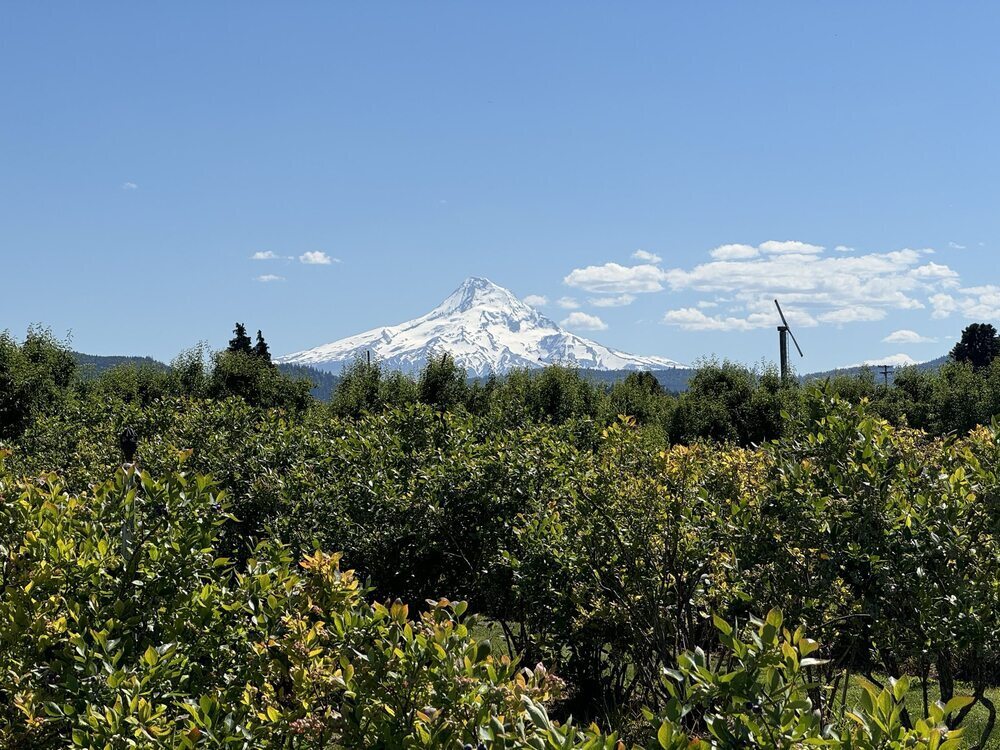
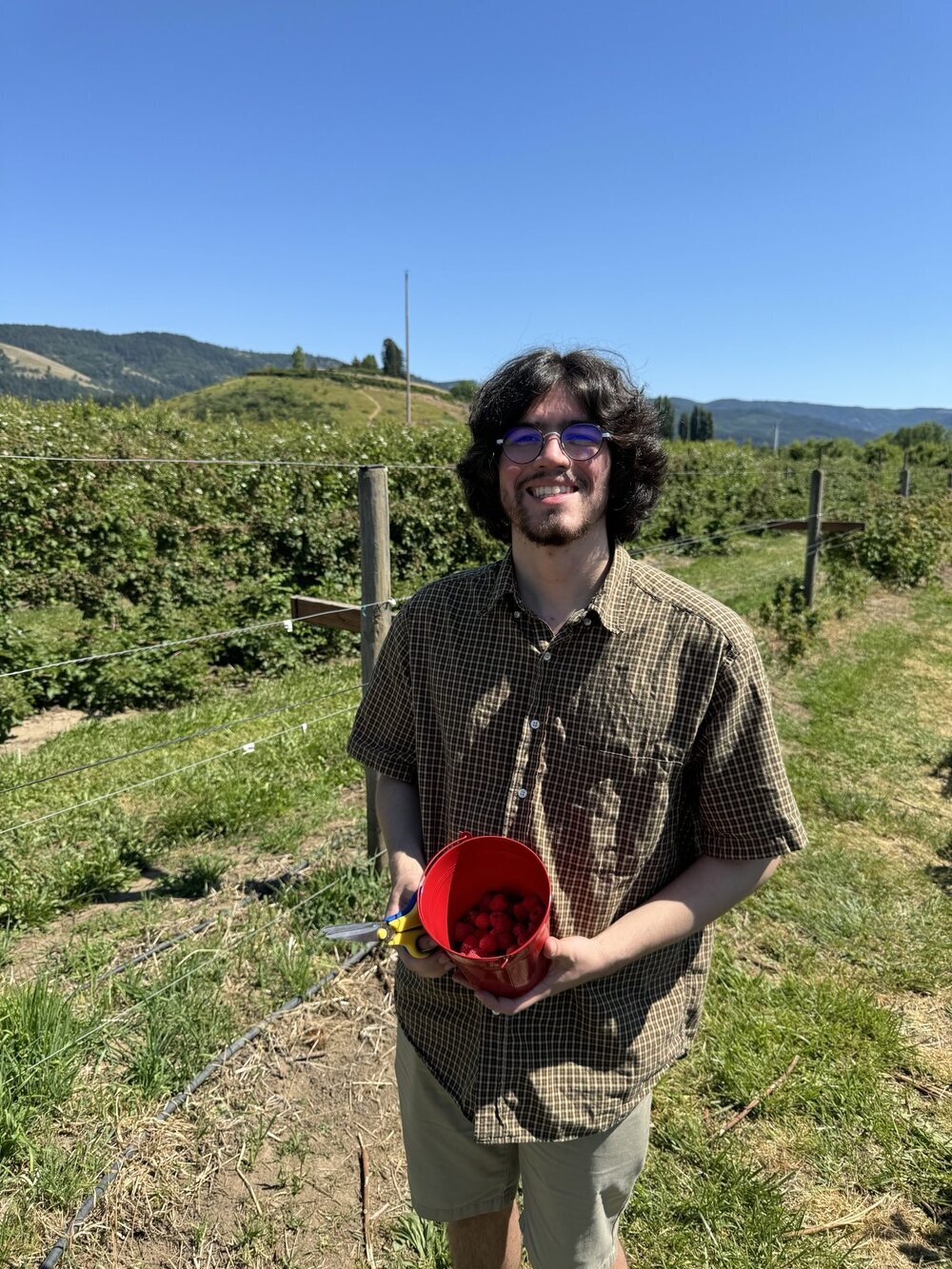
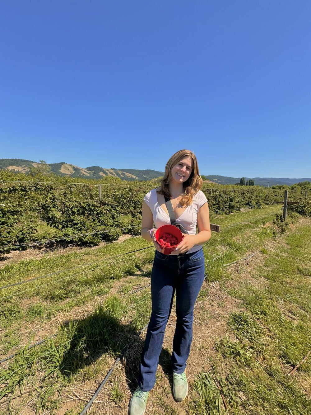
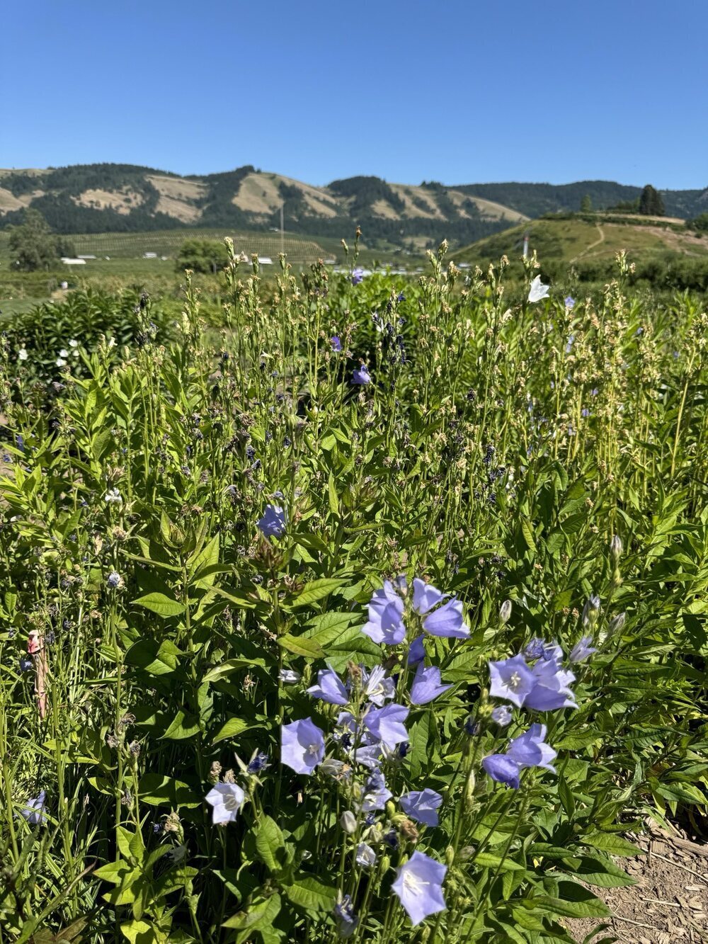
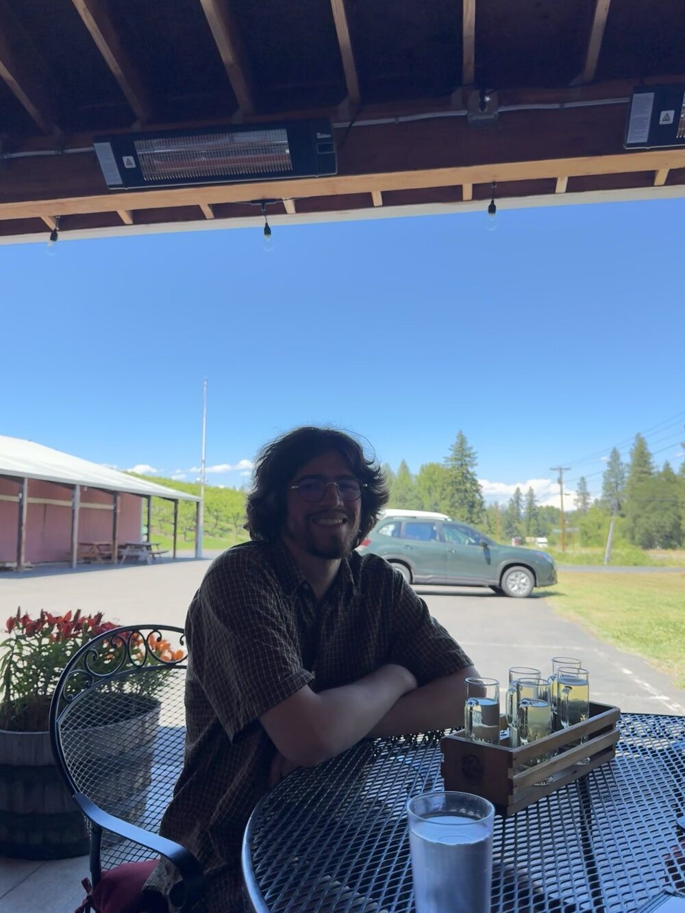
On the way to the Fruit Loop, we saw signs for Multnomah falls. They were sold out of passes for the day we were driving through, but we would like to add this as a stop another time. The Fruit Loop is a loop of 32 fruit stands, wineries, cideries, and farms situated between beautiful mountains. First, we stopped at Pearl's Place Fruit Stand where we bought some Mount Rainier cherries and apples. We especially loved the cherries! We also stopped at the White House where we enjoyed a White House Burger for lunch, and we did U-pick for blueberries and raspberries. We also stopped at Fox Tail Cider and Distillery where Alec got a flight of ciders to try. Then, we continued on to Packer Orchards, which had a beautiful outdoor seating area with a view. Packer Orchards also had a big table with tons of samples of their jams, sauces, honeys, and canned vegetables. Then, we walked through the store to see their baked goods and other treats. We bought a bottle of their non-alcoholic Pear Cider, and it was amazing. Our last stop on the Fruit Loop was Draper Girls Country Farm where we bought some peaches. Then, we admired the stunning view and cute swing in their outdoor seating area.
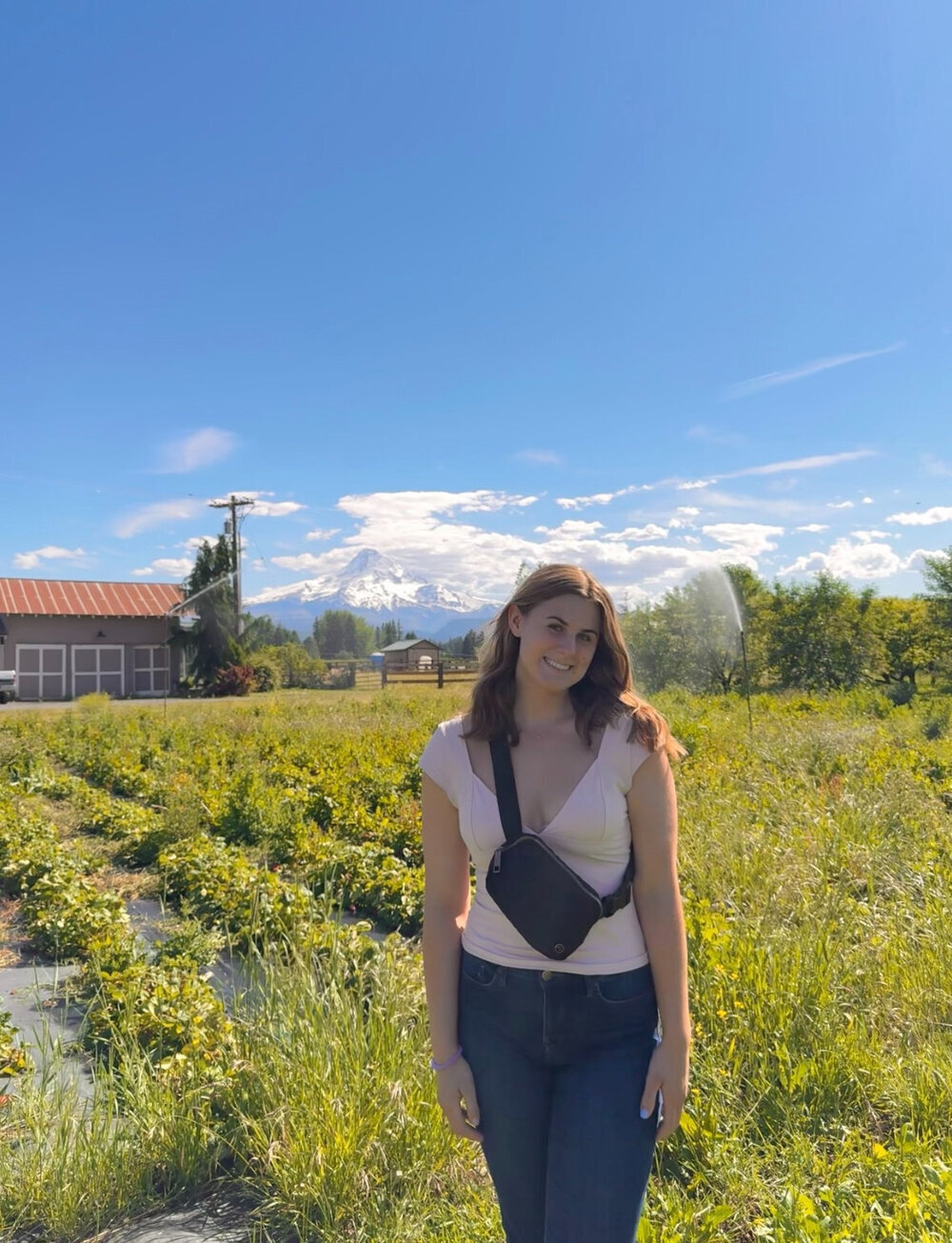
Mount Hood National Forest
Camp Creek
We then spent the night in Mount Hood National Forest at Camp Creek, which was just 10 minutes from our hike for tomorrow. The Camp Creek Campground was very scenic, and there was a creek trail that leaves straight from the camp. However, it should be noted that the amenities at Camp Creek are very sparse. Be sure to bring plenty of potable water when camping here.
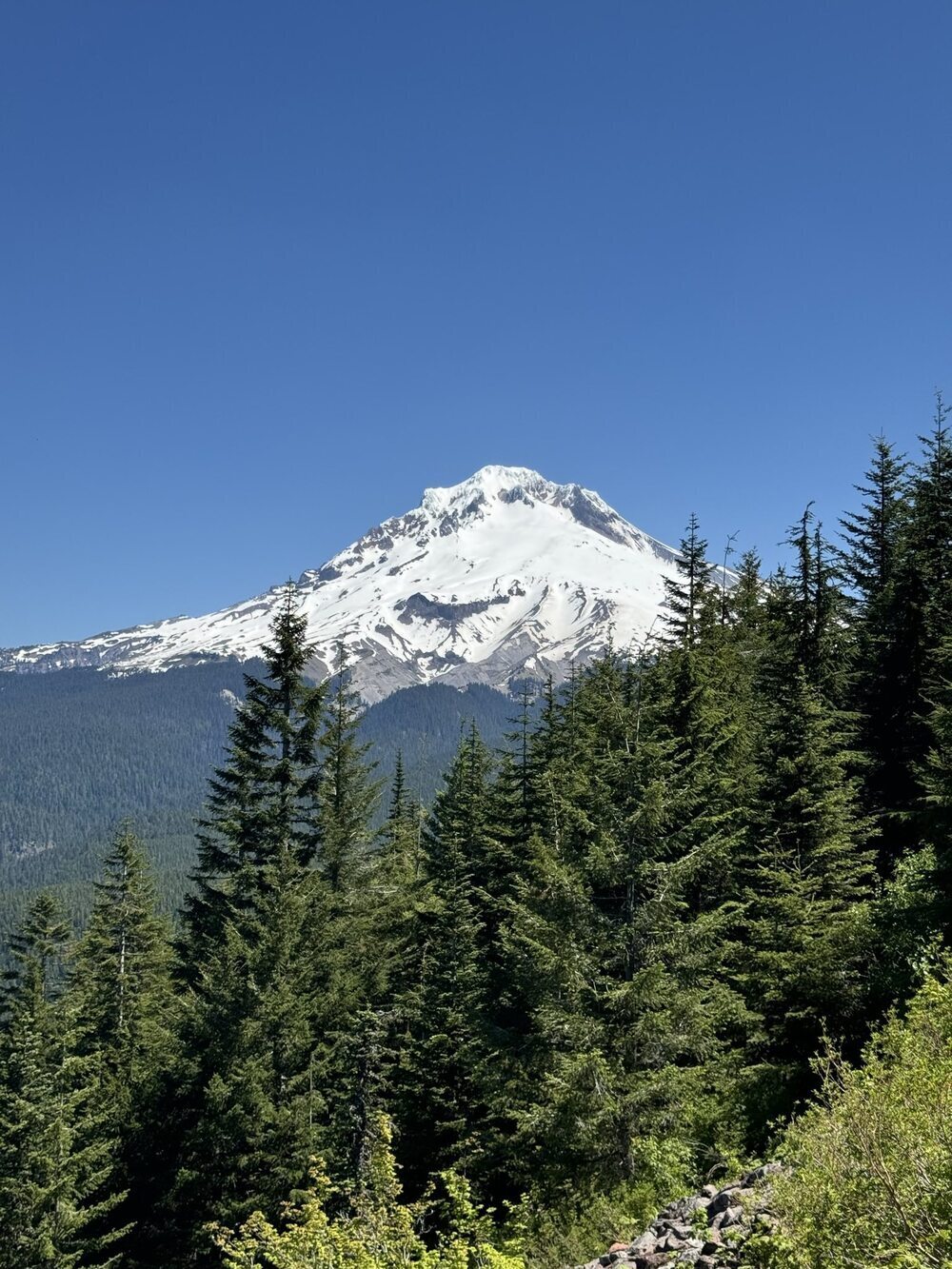
Tom, Dick, and Harry Mountain Trail
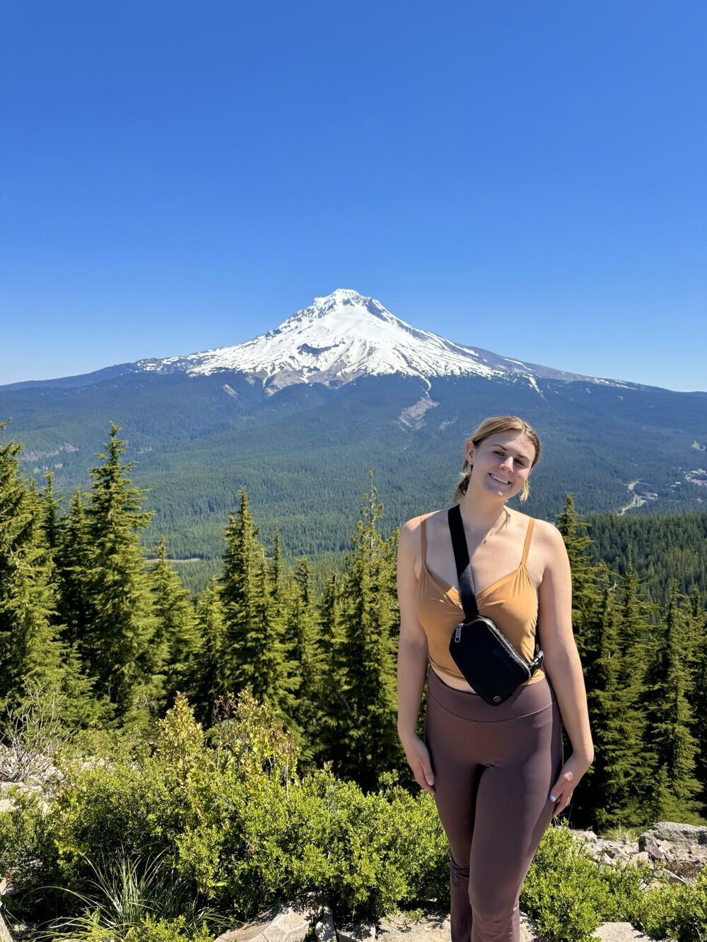
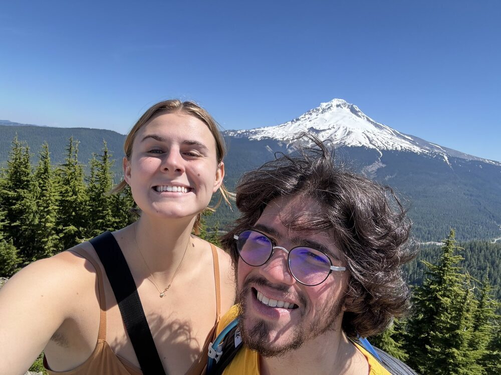
This was one of our favorite hikes of the trip! First, the trail takes you to the lovely Mirror Lake. Then, you can continue up toward the Tom, Dick, and Harry Mountains. There were some good views along the climb up, but the final view of Mount Hood at the end of the hike really took our breath away.
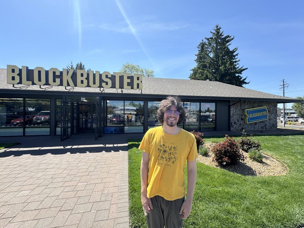
The Last Blockbuster
Next, we drove through Bend, Oregon to see the last Blockbuster open. This was a very nostalgic stop for Alec, and it was a great place to get some candy, look through movies, and buy some Blockbuster merchandise.
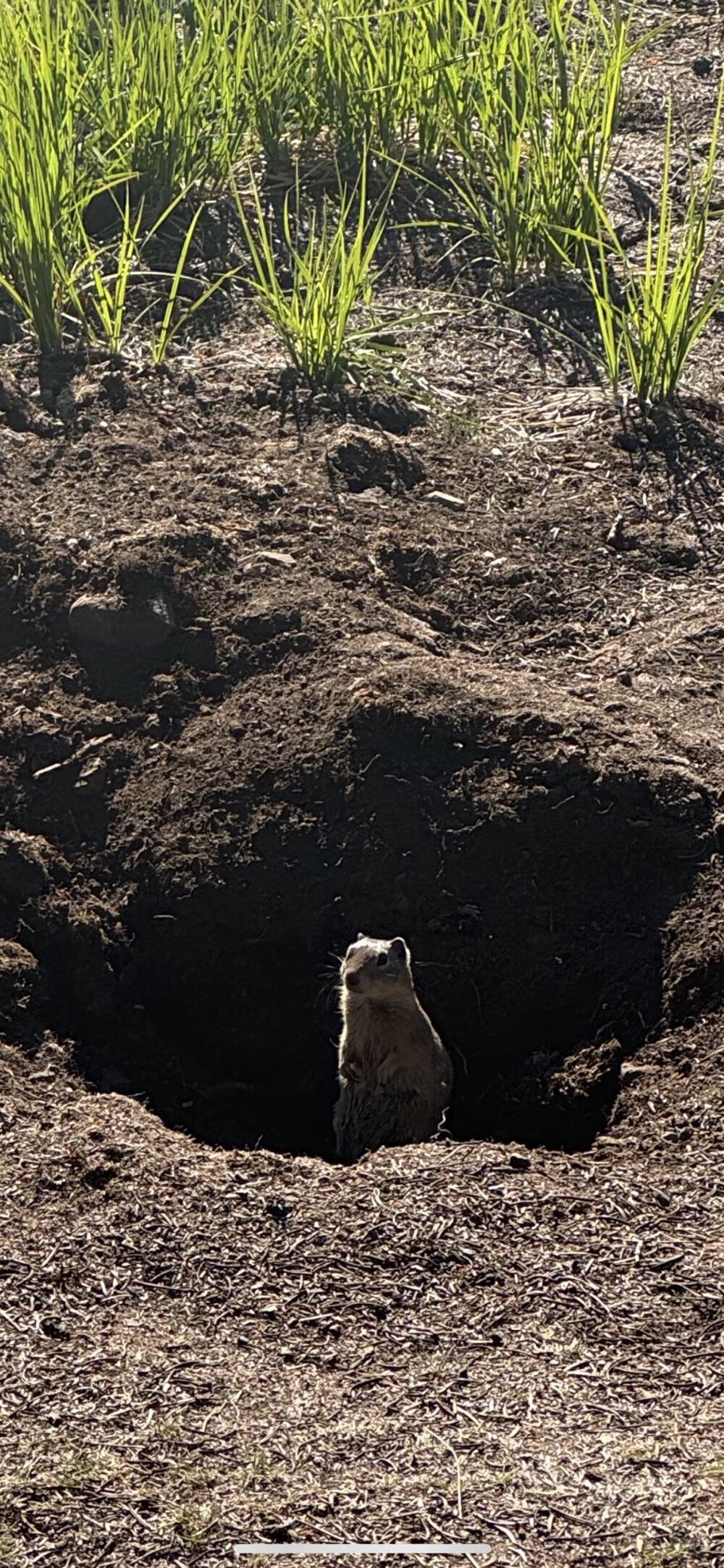
Diamond Lake
We camped at Diamond Lake, which is quite close to Crater Lake. The lake and mountain were very striking, and the campsite had many marmots out and about. This was also the only Recreation.gov campsite we stayed in that provided showers.
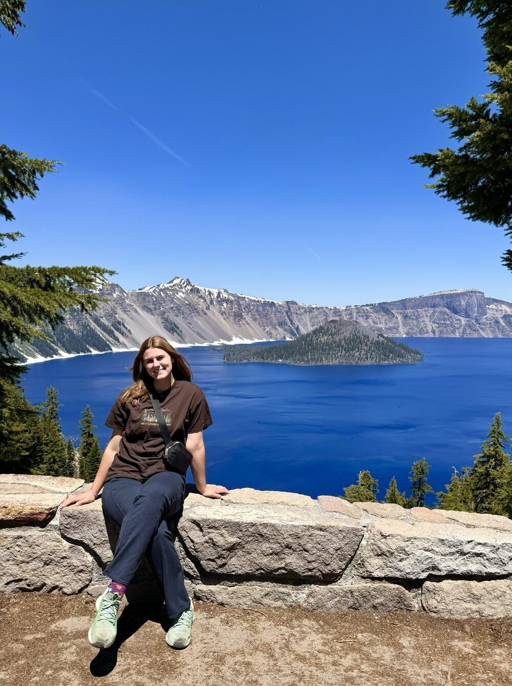
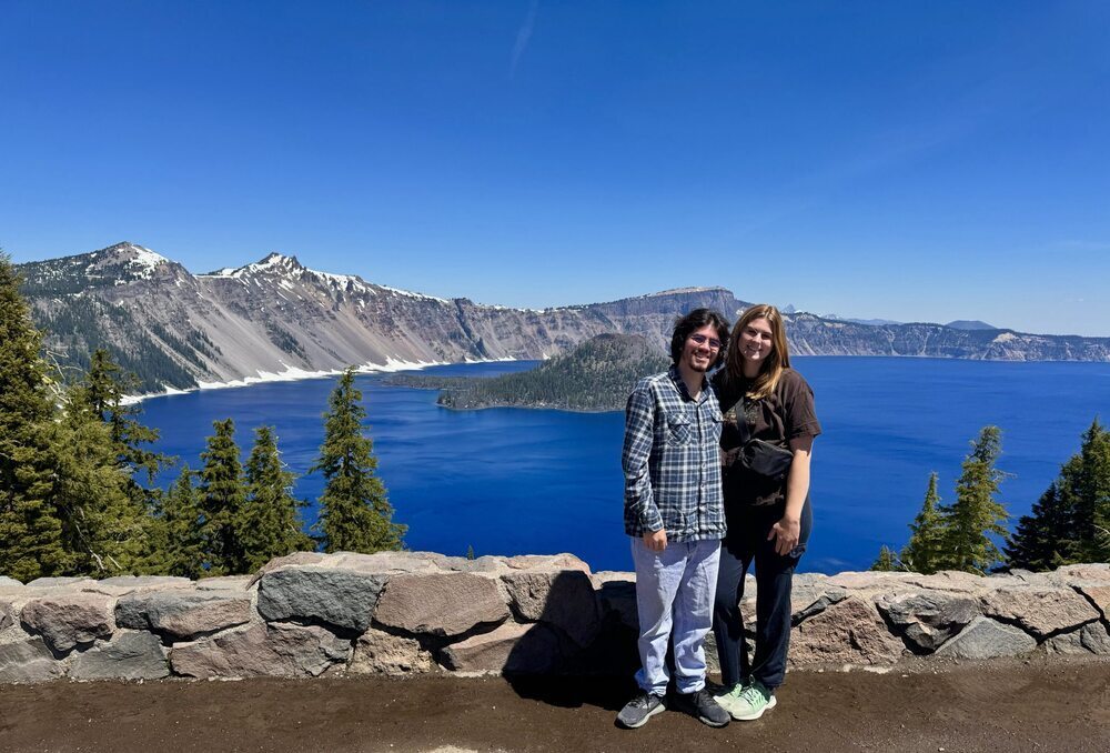
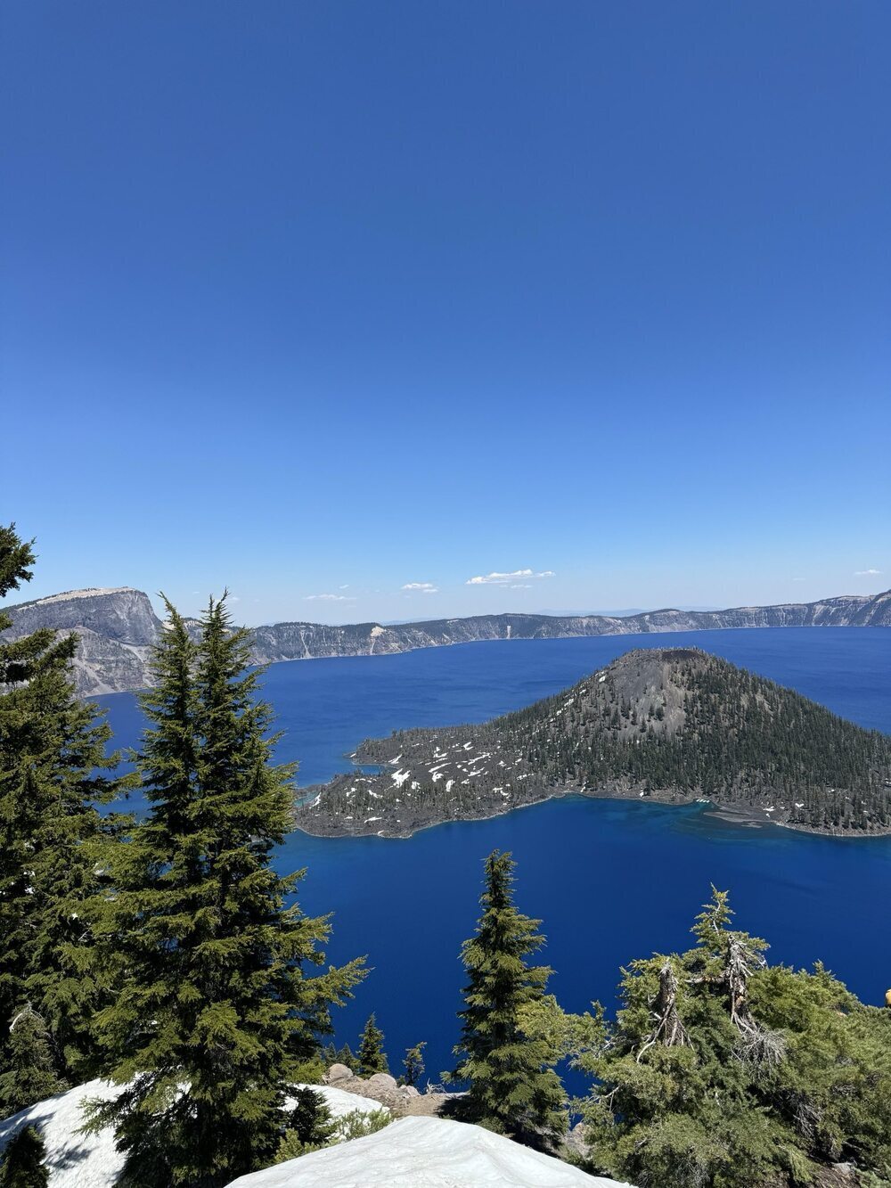
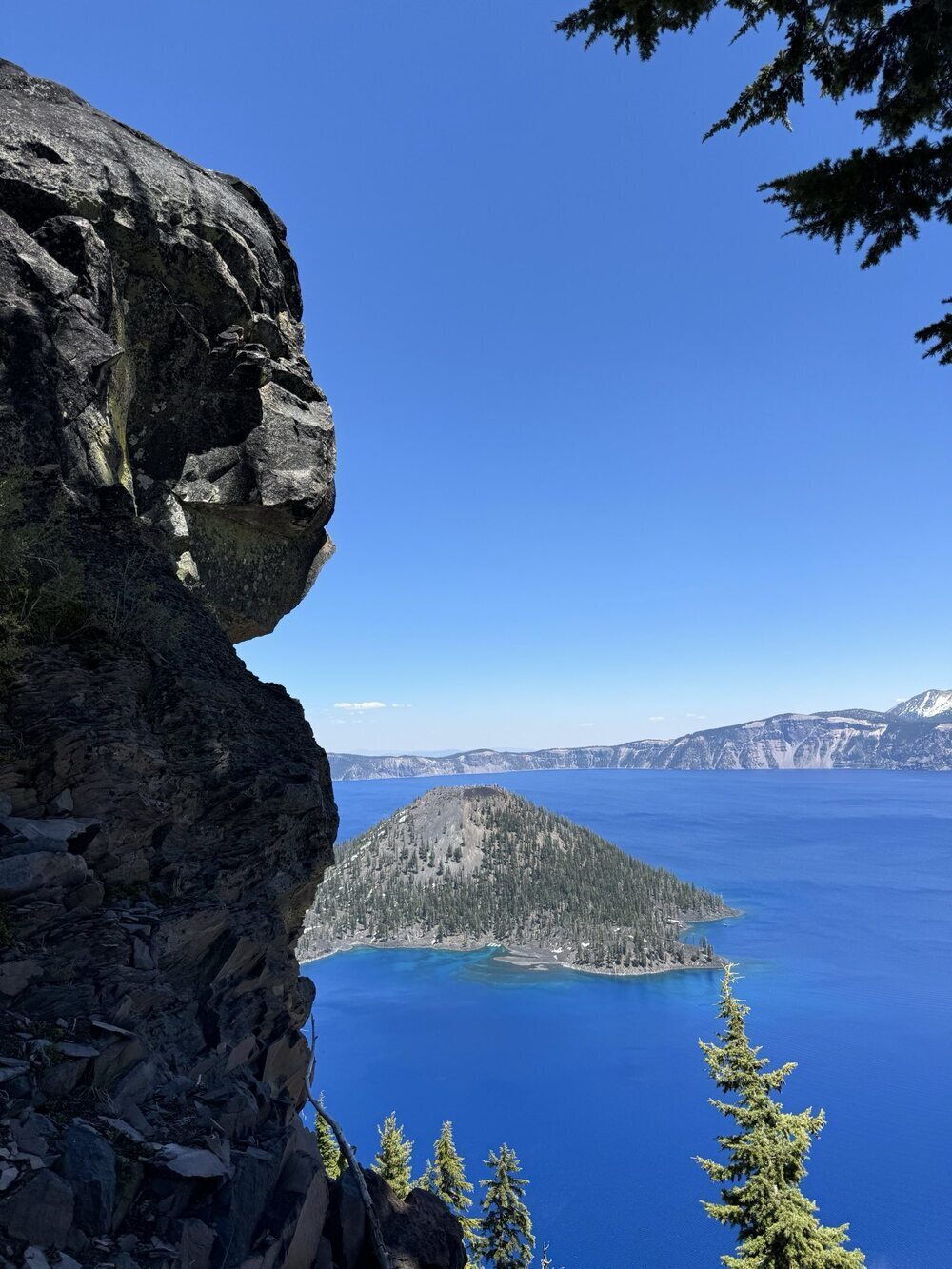
Crater Lake National Park
The majority of Crater Lake was closed in June. However, we were able to drive up to Rim Village where we walked along the Rim and stopped to take scenic photos. Then, we were able to drive to Discovery Point where we did a short 2.2 mile hike to a nice view of the lake. We thought that the lake was stunning and enjoyed being able to take in the views. If we come back to Crater Lake, we would like to come in July or August when more of the park is open, and we would like to hike down to the lake.
California
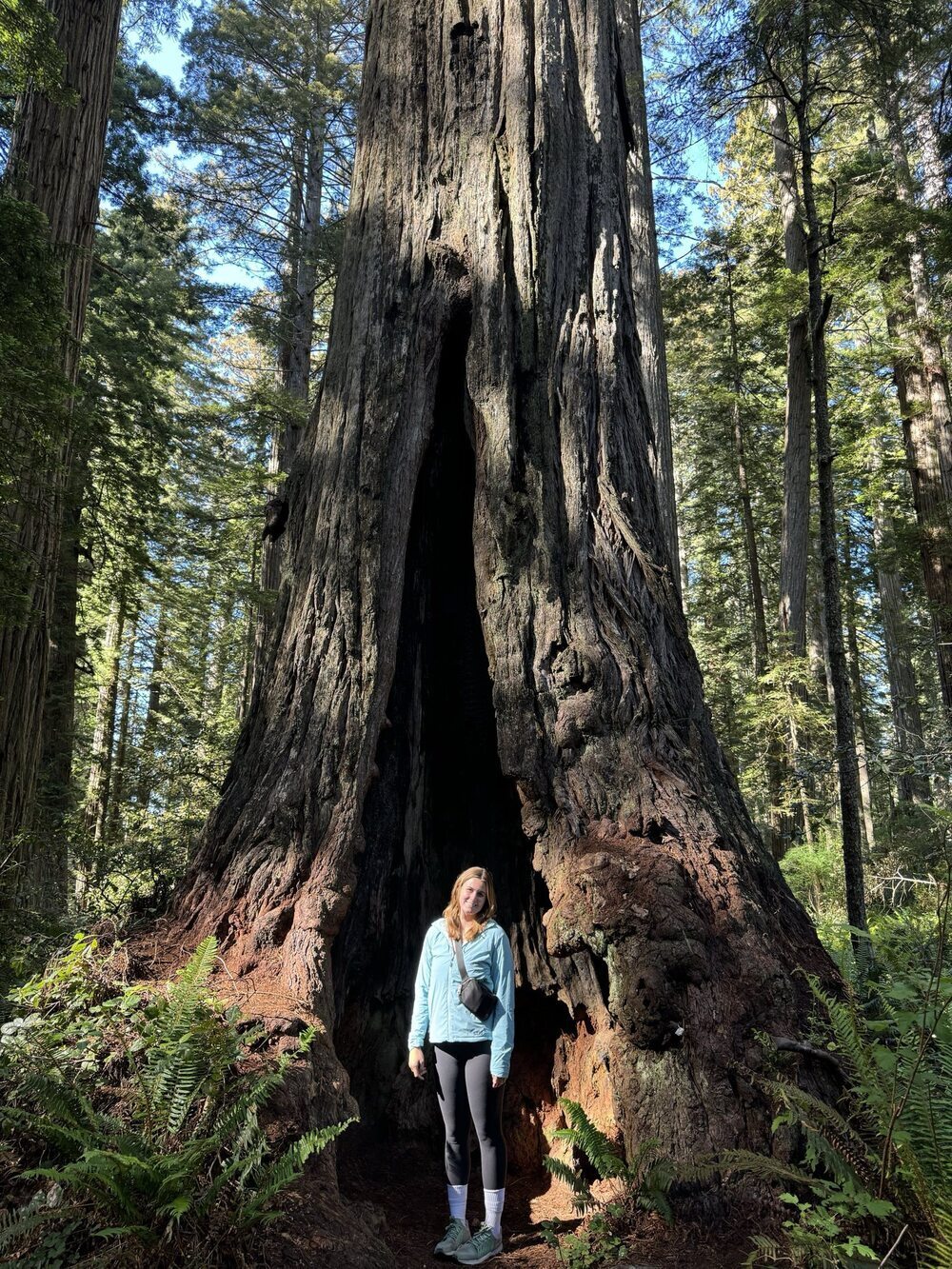
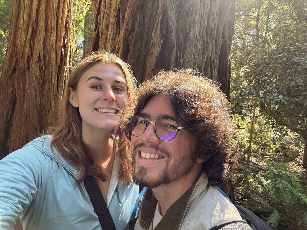
Redwoods National Park
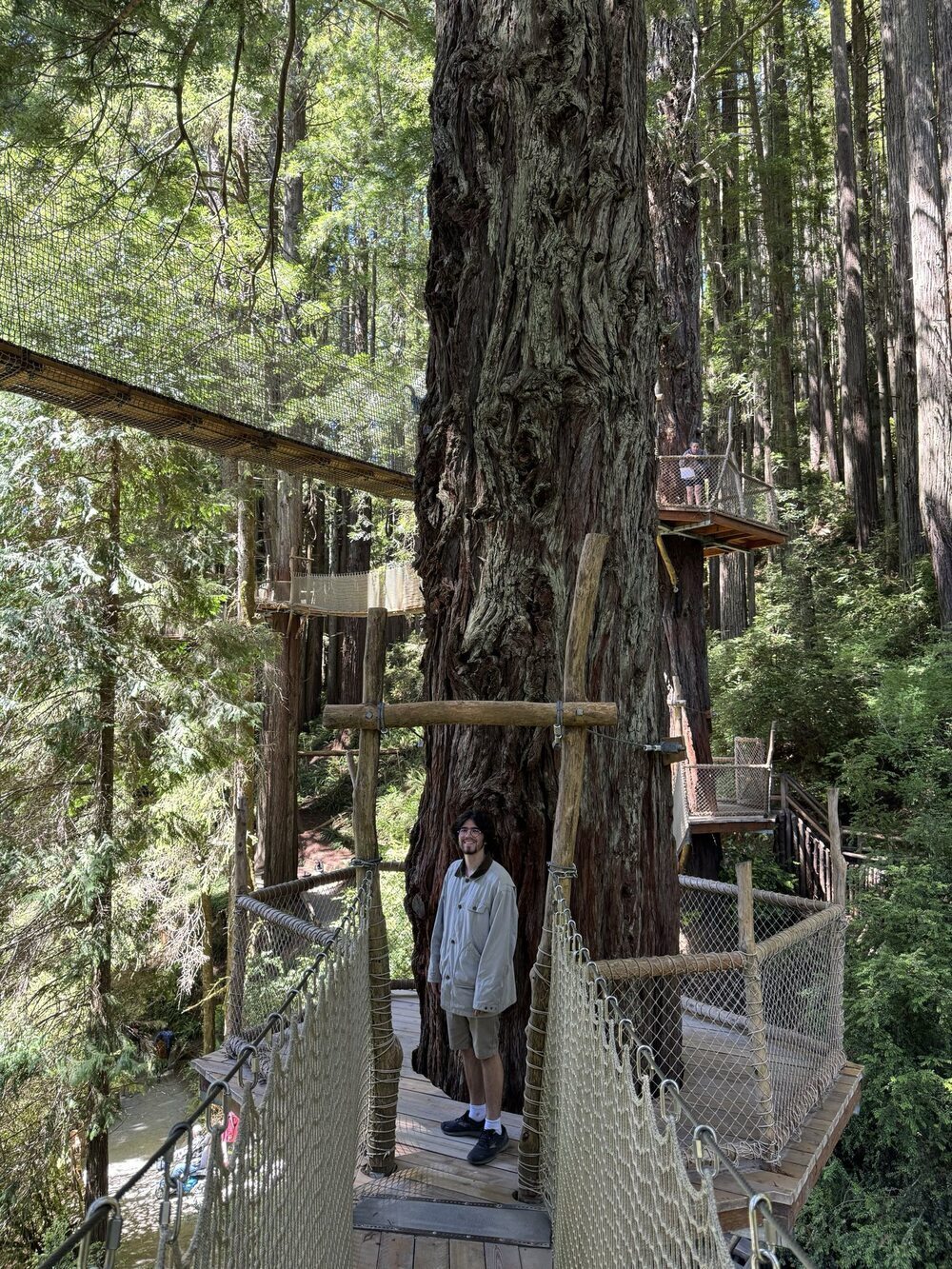
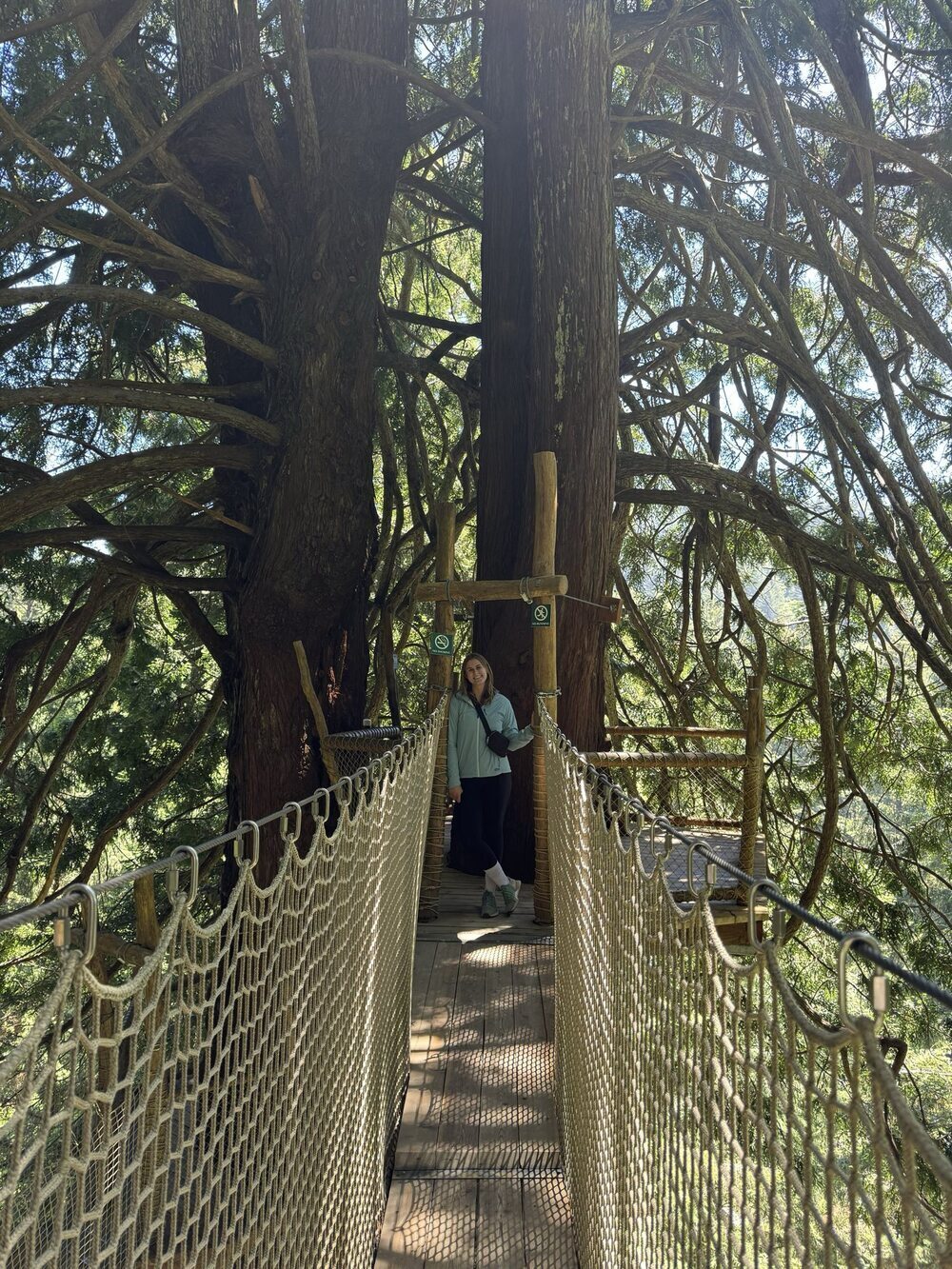
Trees of Mystery
This was a cute park where you can see some labeled redwoods, walk on an elevated canopy trail of the redwoods, take a gondola, and go on a short nature hike. We thought that it was a fun stop, and our favorite part was the elevated canopy trail. We will probably skip it if we visit the redwoods again, but it was a great one time stop.
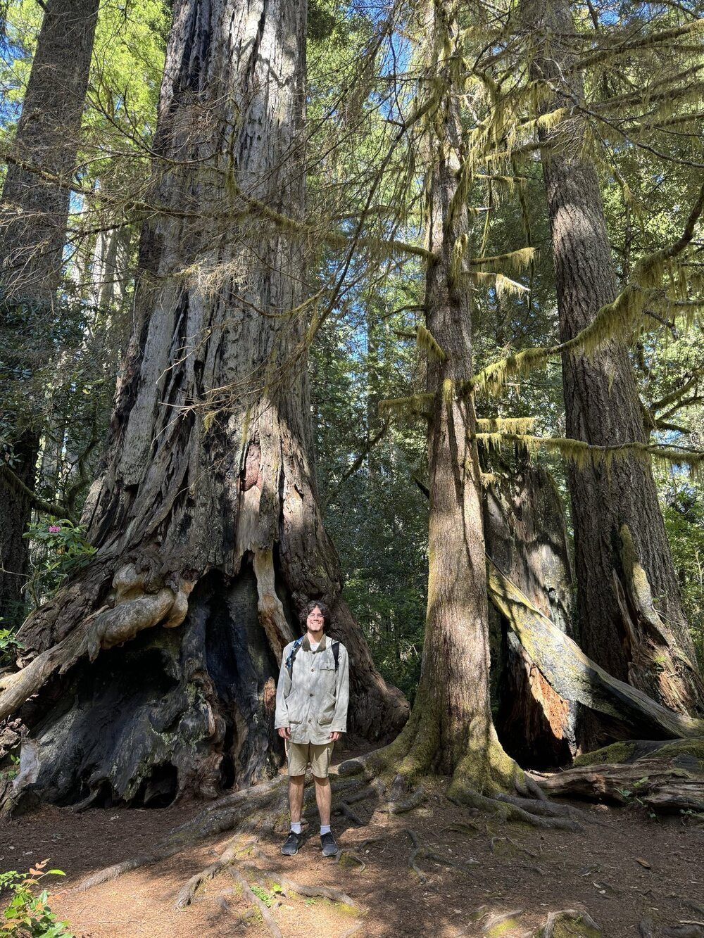
Lady Bird Johnson Trail
This short trail was great for experiencing the redwoods and learning more about the history of the park.
Terwer RV Park
This was a great place to stay that was close to the redwoods. The host was very friendly. They had plentiful firewood, hot showers, a sink for washing dishes, and electrical hookups for charging devices.
Lassen Volcanic National Park
Manzanita Lake Campground
It was very nice to camp by Manzanita Lake. From the campground, you can walk to the Manzanita Lake trailhead and the Manzanita Creek trailhead. The campground had nice bathrooms, a sink for washing dishes, and was a 5 minute walk from a camp store where you can buy food, coffee, and firewood. The camp store was partially under construction, but it will soon offer showers and laundry as well.
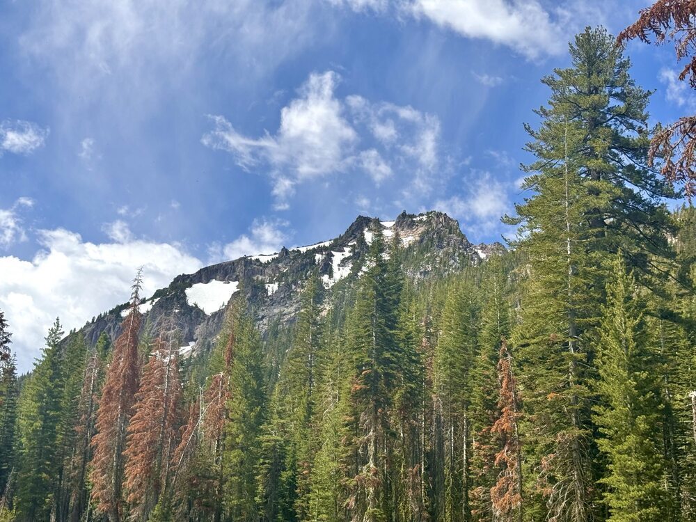
Chaos Craggs Trail
This was a fantastic hike! We would highly recommend it. The terrain was moderately challenging, but the view at the end was well worth it.
Manzanita Lake Trail
We did this loop at sunset and enjoyed great views of the setting sun lighting up Mount Lassen. However, this trail was very buggy!
Manzanita Creek Trail
This trail was longer, but the elevation gain was gradual. It had nice views of the mountains throughout. The trail got muddy toward the end and was not as well marked, so we were not quite sure what the final viewpoint of the trail was supposed to be.
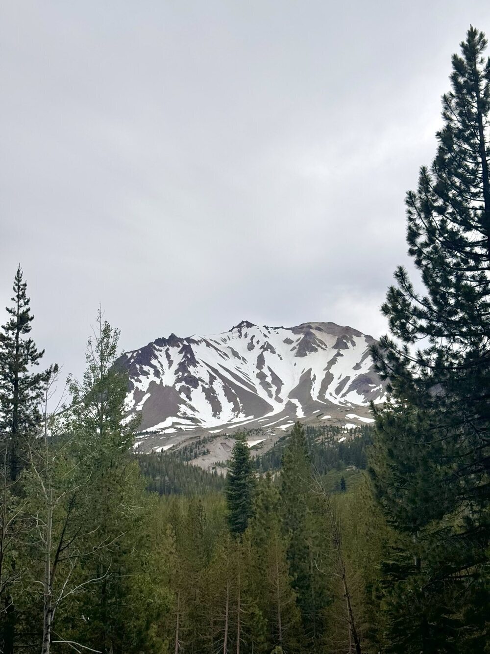
Devastated Area
There is a 0.5 mile loop around the Devastated Area where you can view the volcanic rocks and learn about Mount Lassen's last eruption. There is also a nice view of Mount Lassen from the trail.
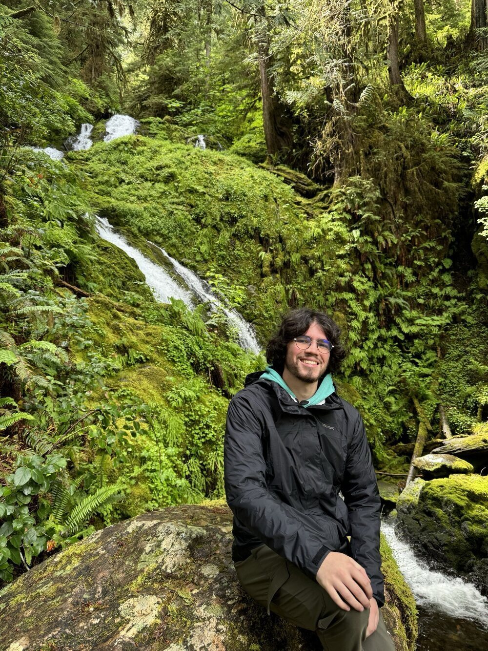
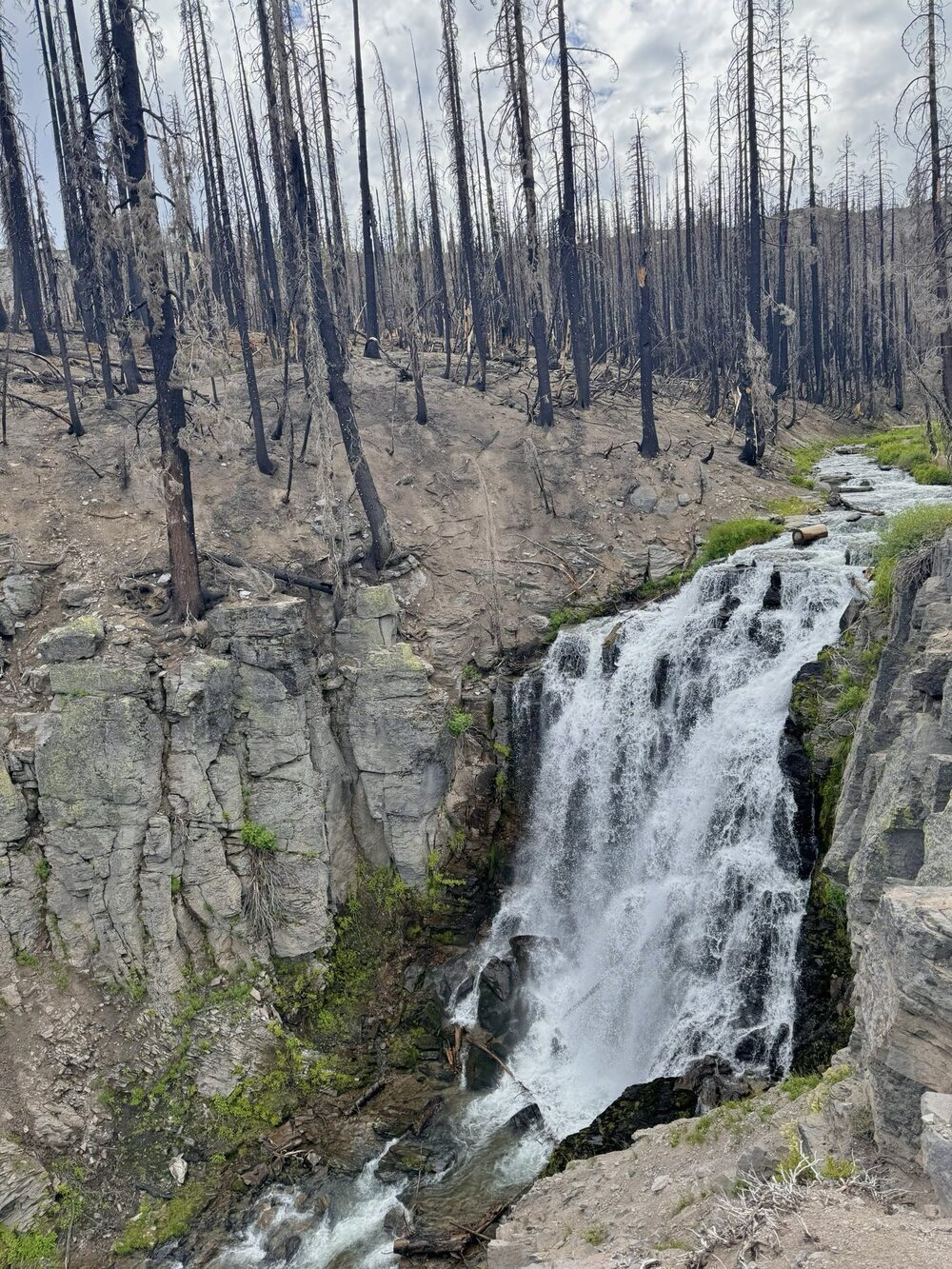
King Creek Falls Trail
This is a nice hike through some burnt forestland and down to King Creek Falls. The hike back up from the falls is steep, but otherwise the trail is an easy hike.
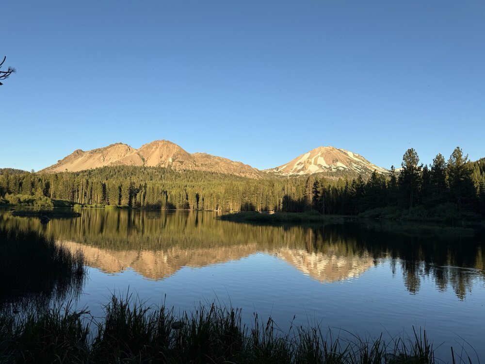
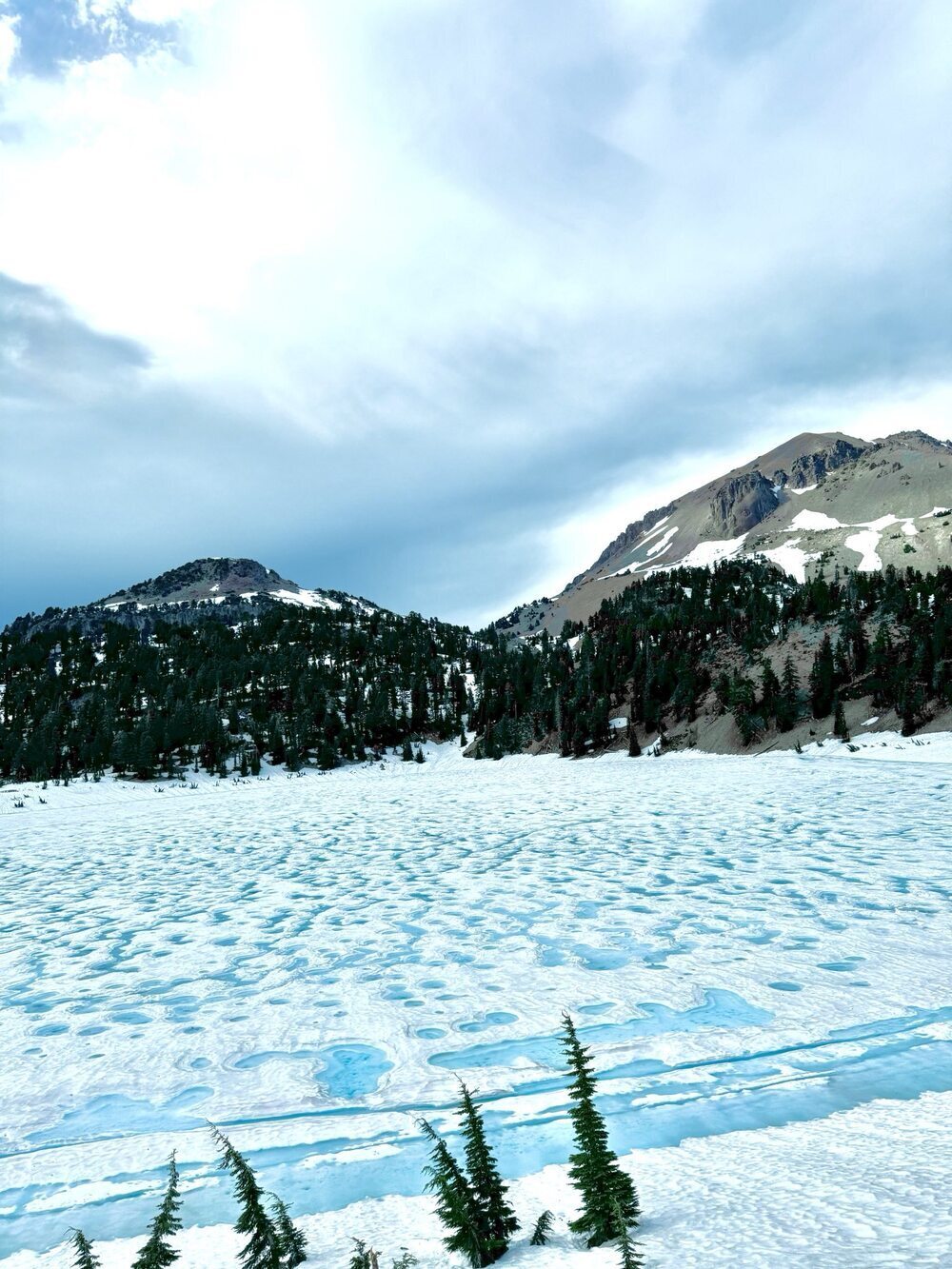
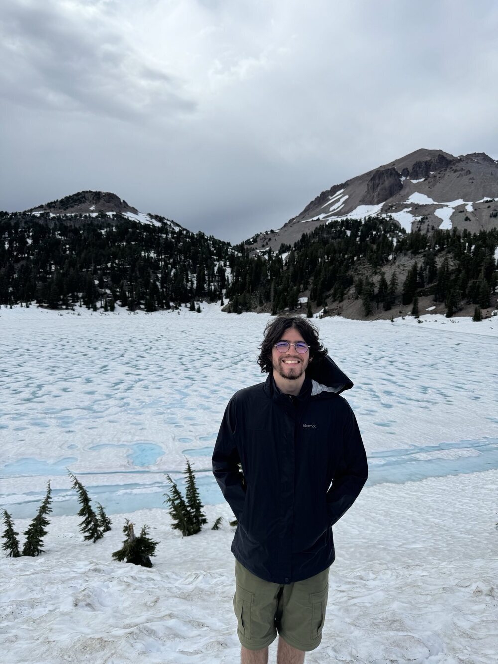
Lake Helen
We stopped by Lake Helen for striking views of the mountain and the frozen lake. The water was a bright light blue.
Sulfur Works
We then went to Sulfur Works to see bubbling mud pots and geothermal activity.
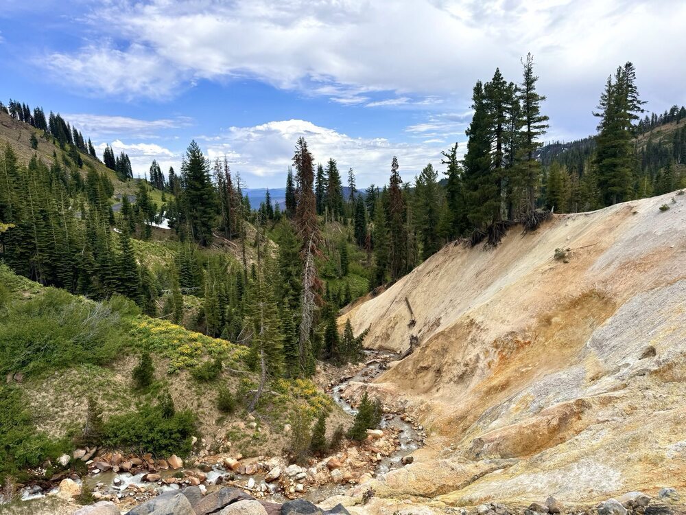
We had originally planned to see more geothermal activity on the Bumpass Hell Trail, but this trail was still closed for snow. We would like to come and see this trail in July or August.
Shasta-Trinity National Forest
Old Shasta Coffee
This was a great coffee stop on our way into Shasta! The iced oat latte was excellent.
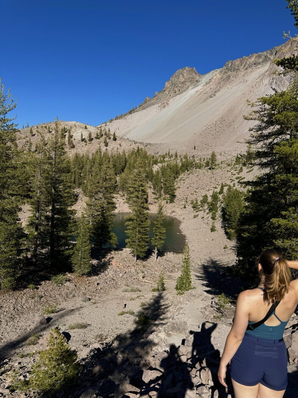
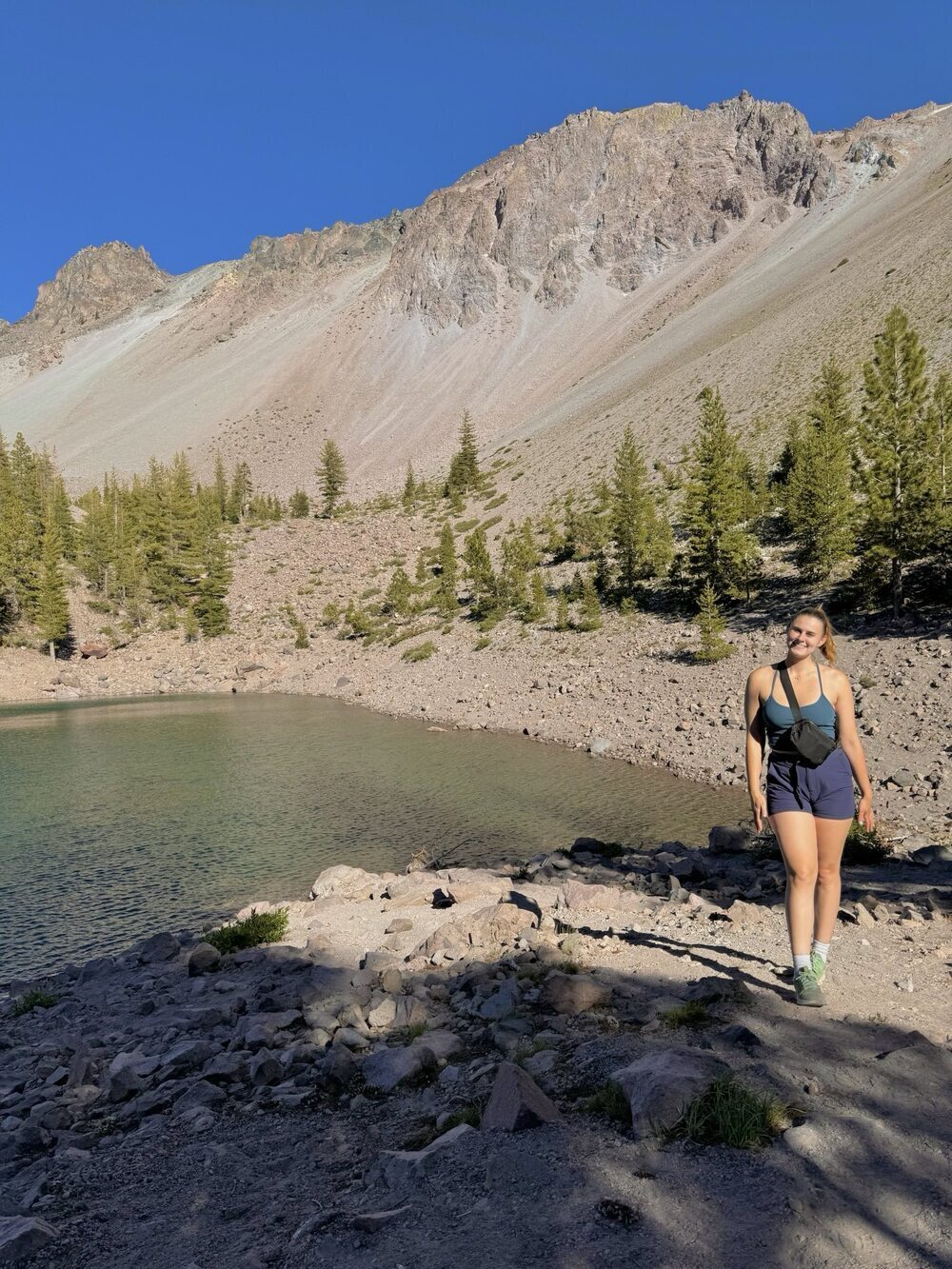
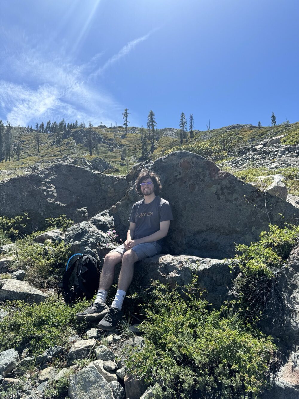
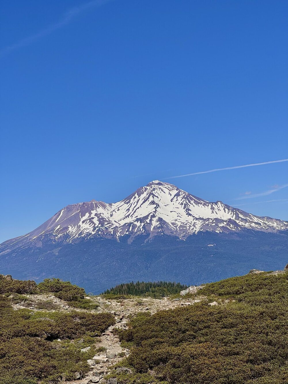
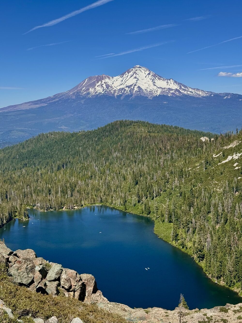
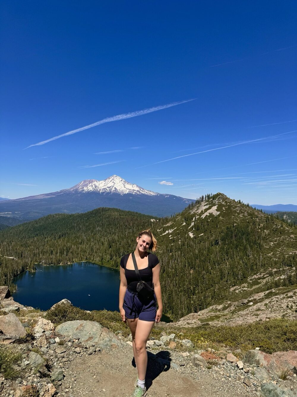
Castle Lake Trail
This was one of our favorite hikes of the trip! We hiked past Castle Lake and then past Little Castle Lake. We ended with amazing views of Mount Shasta and Castle Lake. The final viewpoint had a couch made out of rock that was a great place to have a snack and take in the view.
Bailey Cove Campgrounds
This was a great place to camp that was right on Lake Shasta. A short trail leaves from the campsite, and the campsite is right next to a boat dock.
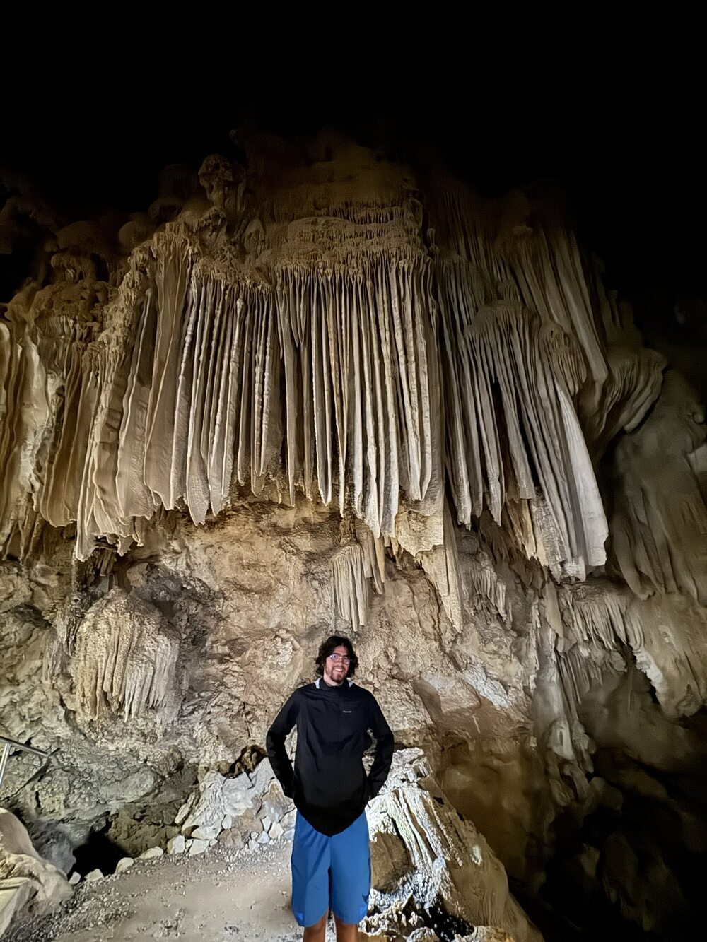
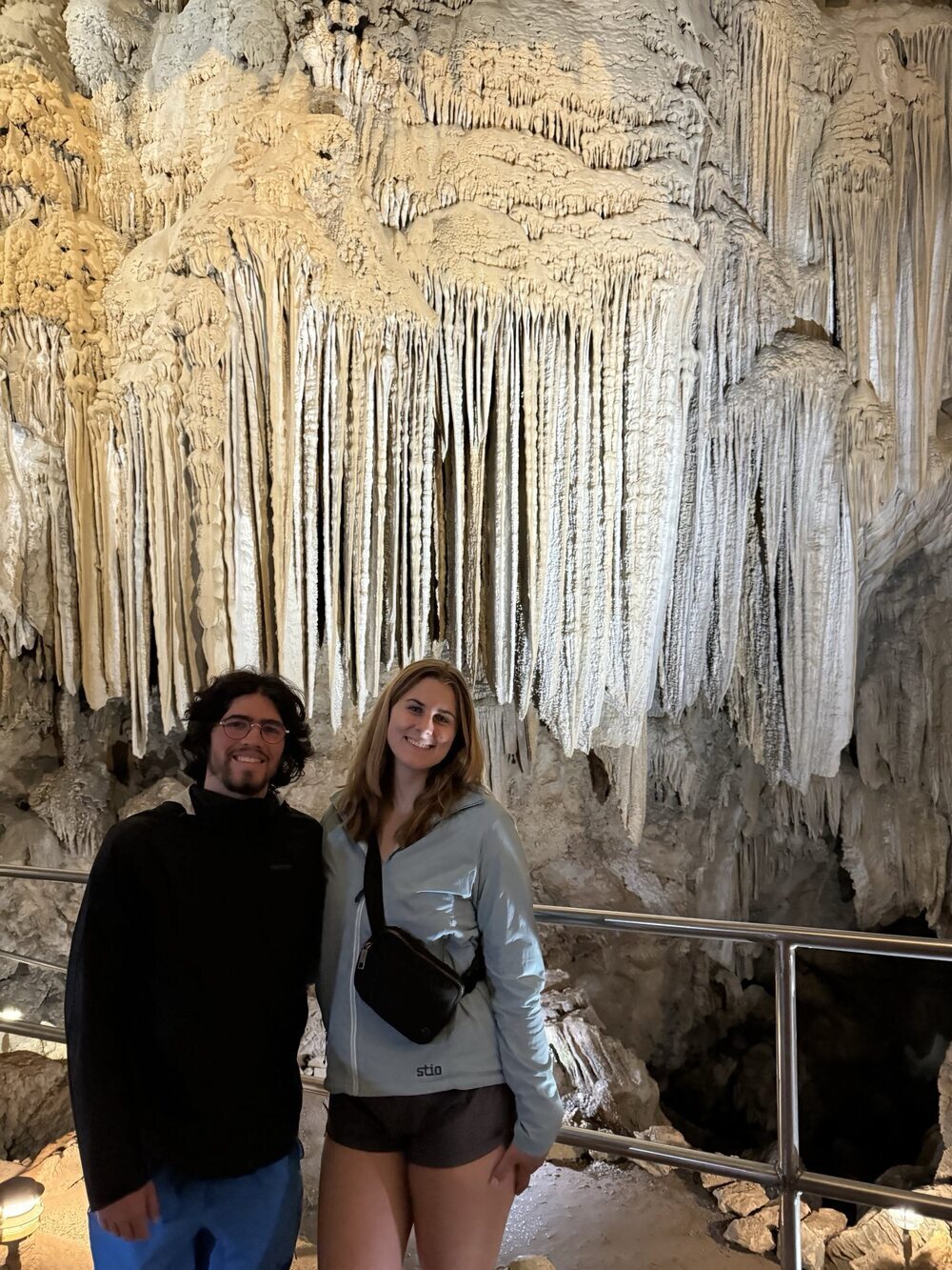
Shasta Caverns
The Shasta Caverns were just 6 minutes down the road from Bailey Cove Campgrounds. We took a boat across Lake Shasta, and then, we took a scenic bus ride to the caverns. The tour of the caverns was very impressive. We learned a lot about different cave formations and the history of the Shasta Cave.
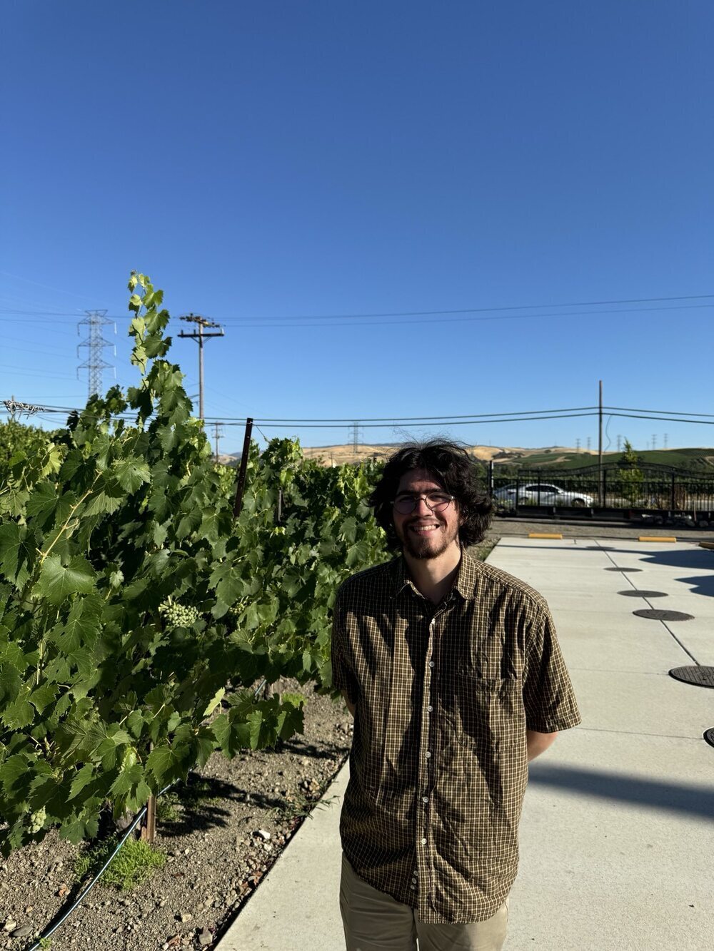
Livermore Wine Country
The Ranch at Cross Road
This was a very nice campground on a farm that was close to many vineyards. We had rolling hills in the background. There was also a nice bathroom with a shower. The shower's water pressure was a bit low, but it was an open roof shower, which was cool to try.
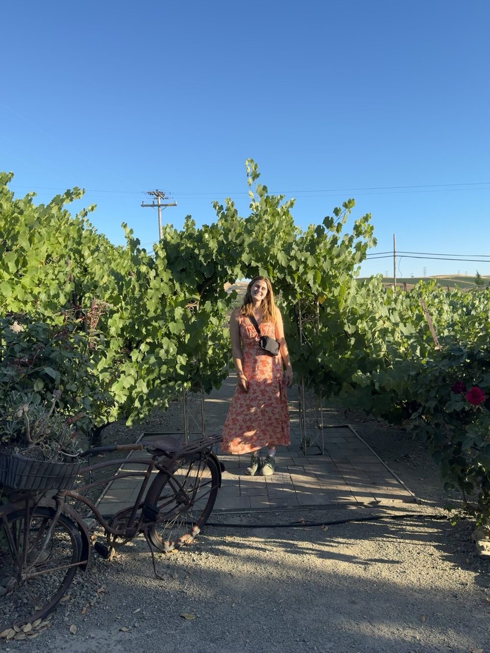
Del Valle Winery
We went to the winery for dinner and drinks on a Friday night. There was great live music. We really enjoyed the charcuterie, flatbread, and Sauvignon Blanc here.
San Francisco
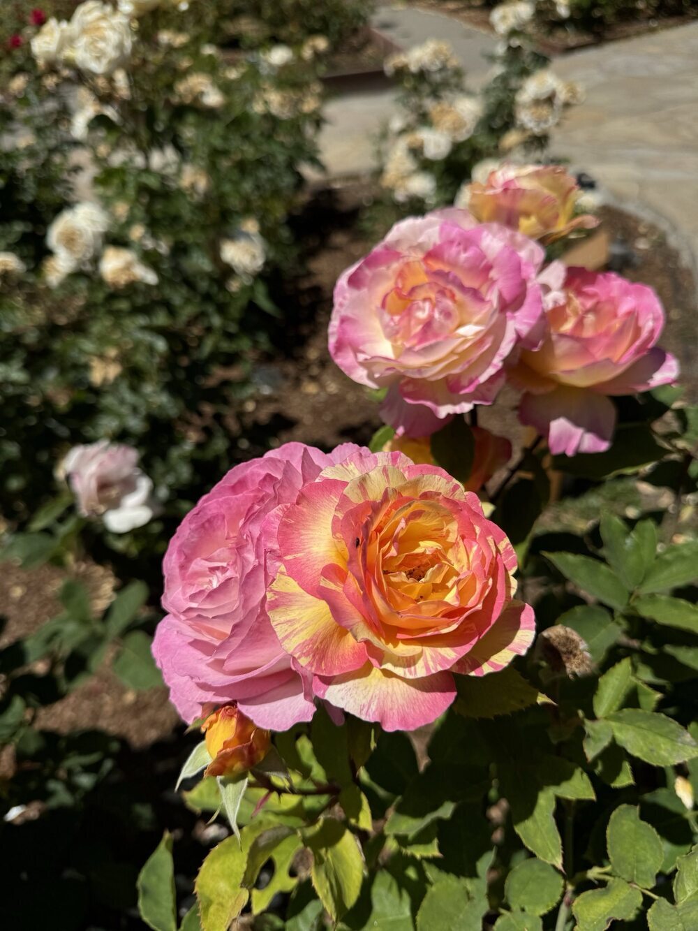
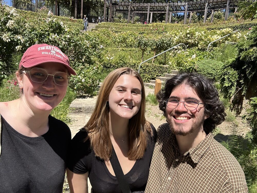
Berkeley Rose Garden
This is a very beautiful outdoor rose garden that was nice to walk through.
Kinda Izakaya
This was a great dinner spot very close to Berkeley. We all shared a lychee soju cocktail pitcher. Grace liked the salmon and ikura bowl, and Alec enjoyed the hand rolls.
Caravaggio Gelato
This spot had very good gelato that was very reminiscent of Italy. Grace especially liked the affogato.
See's Candies
This was a very cute spot with delicious chocolate. We especially liked the California brittle.
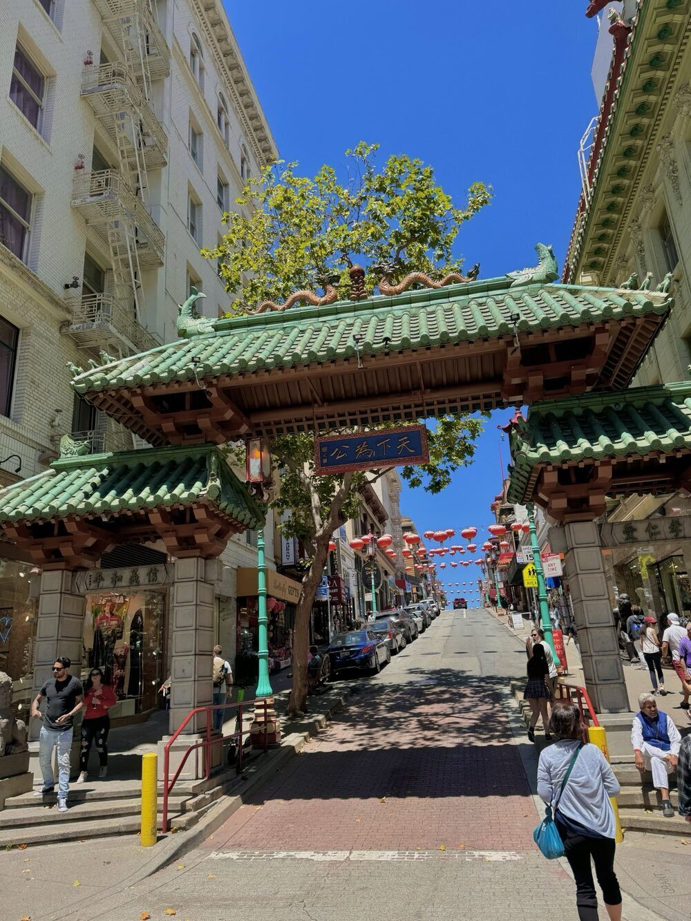
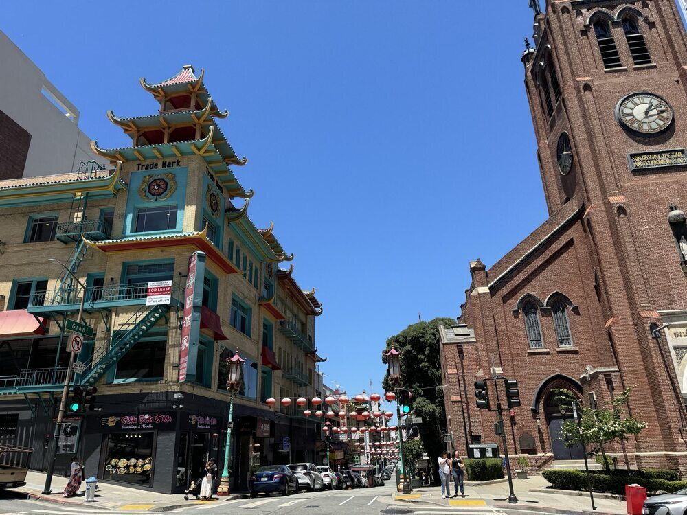
Chinatown
We walked through Chinatown and stopped at Chong Qing Xiao Mian for lunch. Grace had a great wonton soup there, and Alec liked the pork belly and potstickers.
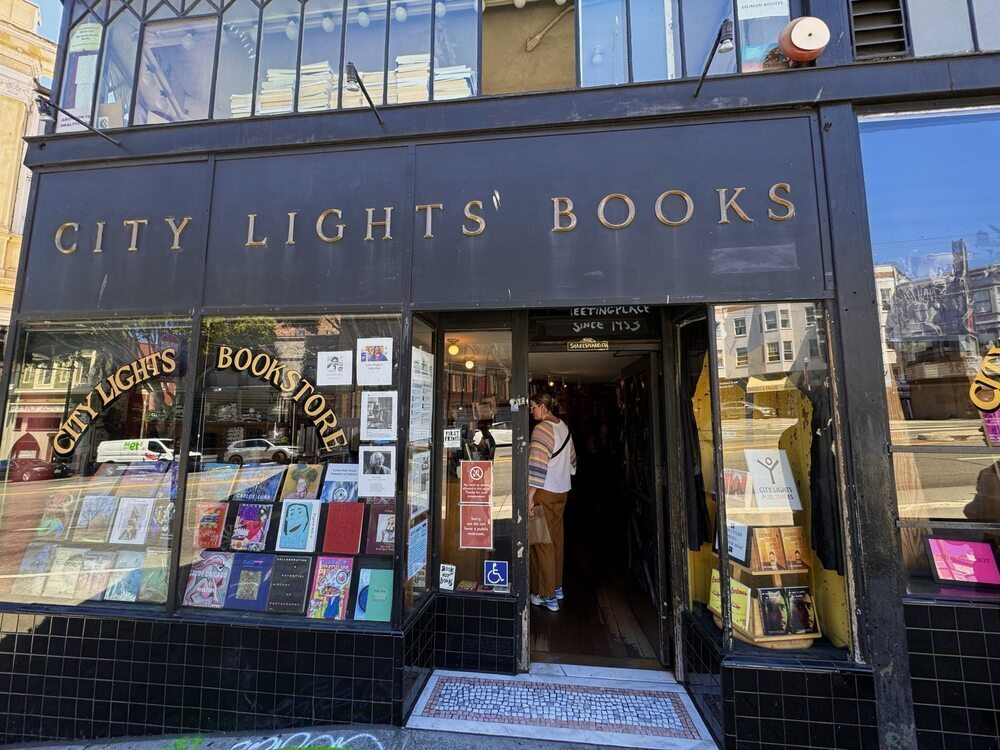
City Lights Books
This was a very cute bookstore with tons of selection and great ambiance.
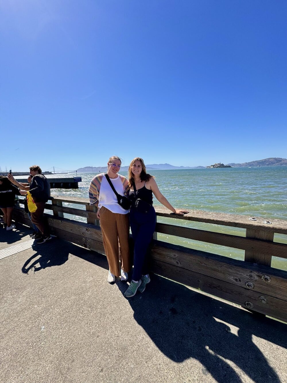
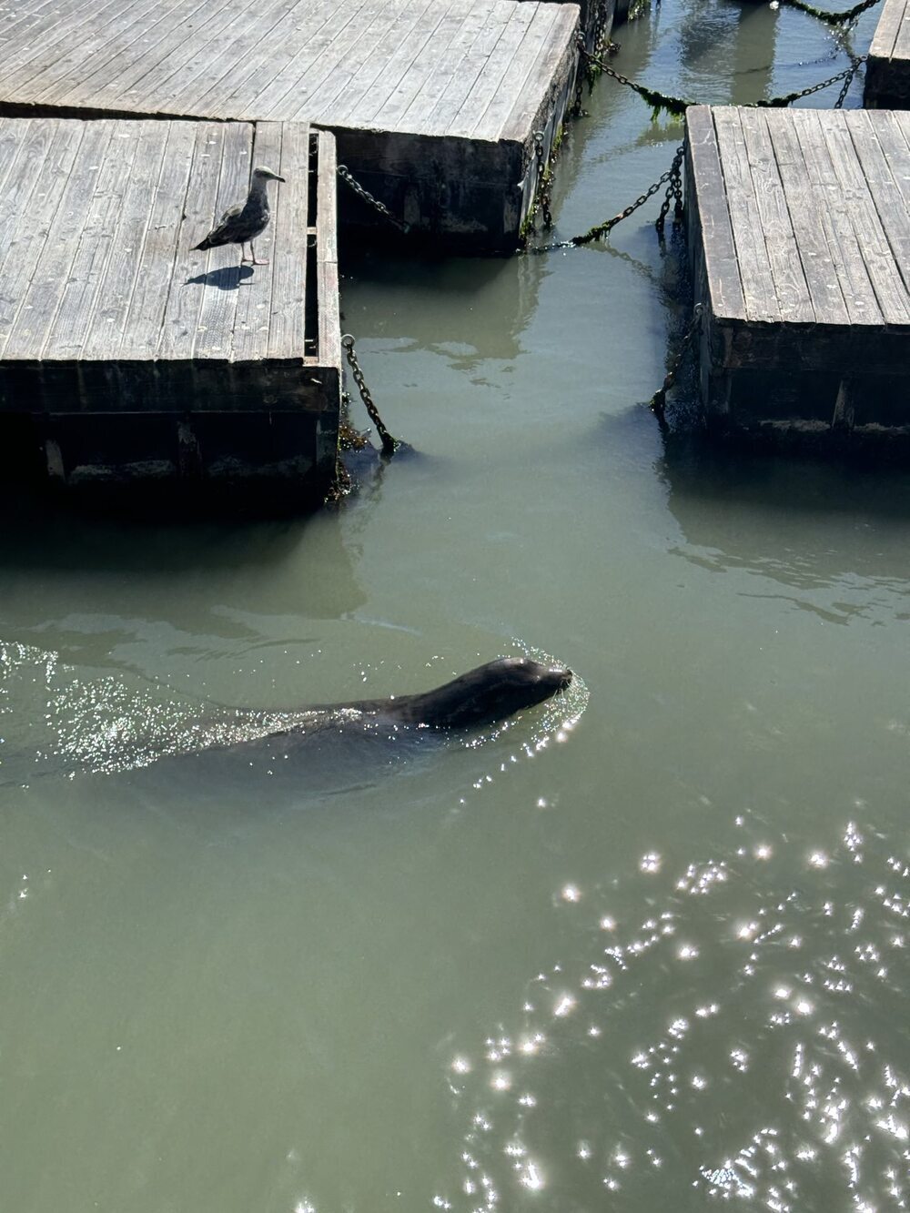
Pier 39
Pier 39 was a great spot on the water with tons of shops and food. We stopped at the Candy Barron to see their wide range of salt water taffies. We also watched the sea lions playing by the pier.
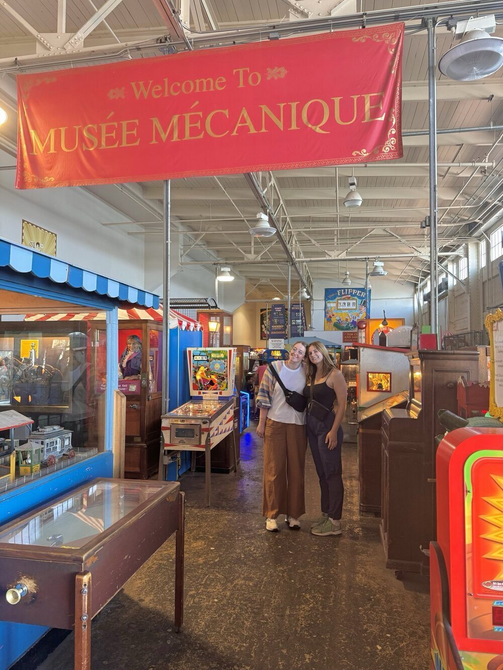
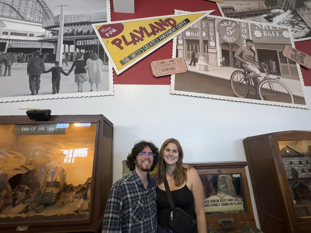
Musee Mecanique
This was a super fun museum that is filled with old arcade games. It is helpful to bring cash to exchange for quarters. We spent about two hours here just exploring and playing the games.
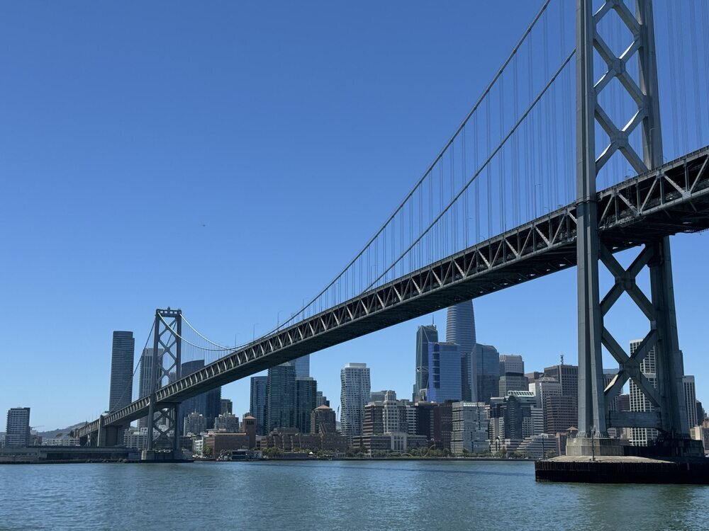
Taking the Ferry
We had a great time and had nice views taking the ferry into the Ferry Station. At the ferry station, we ate at A16 for lunch. They had great pizza and Italian style sandwiches.
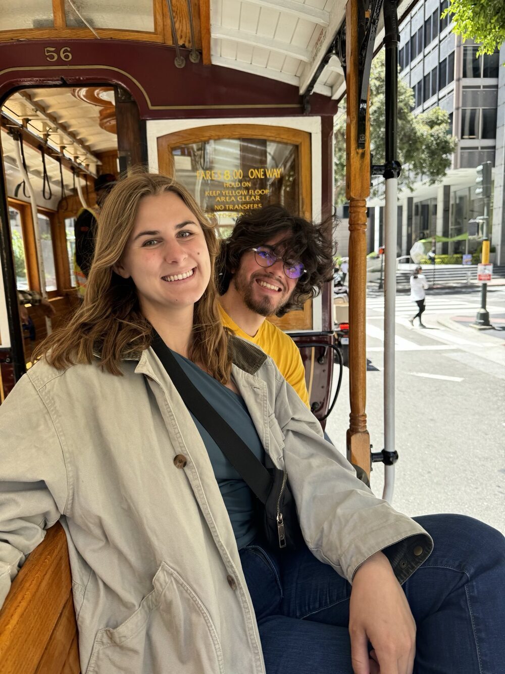
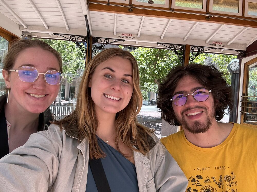
Taking the Trolley
We found it a lot of fun to take one of the historic trolleys around town. To avoid the crowds, try to not take the trolley when going to a particularly touristy place.
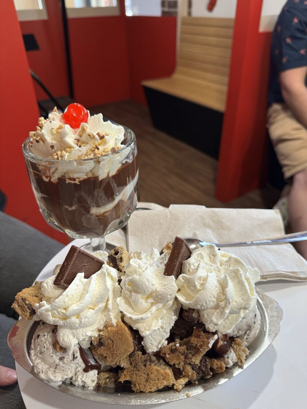
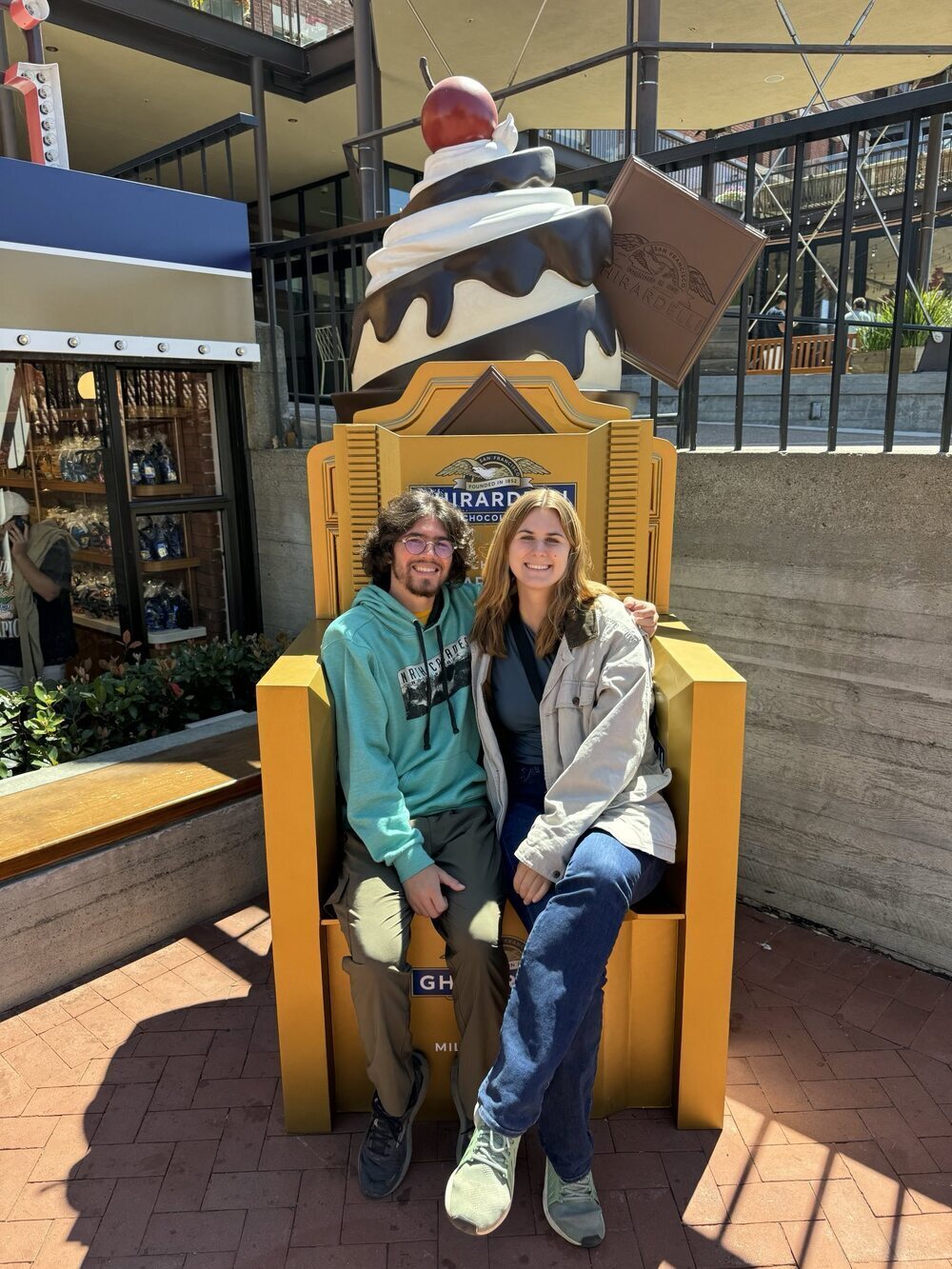
Ghirardelli Square
Ghirardelli Square is home to the first Ghirardelli store. We enjoyed visiting the store and sharing fun sundaes.
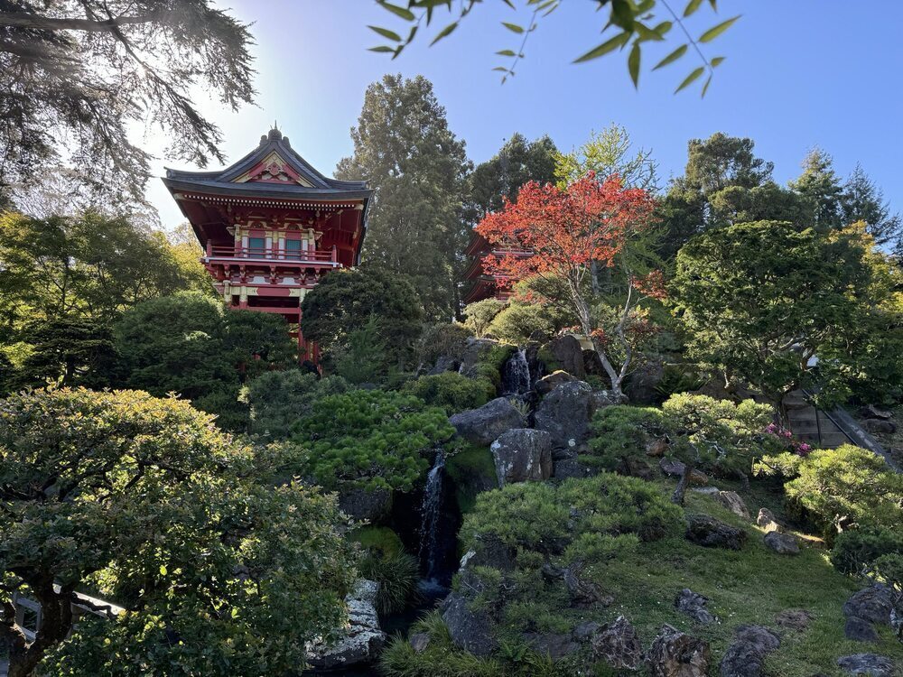
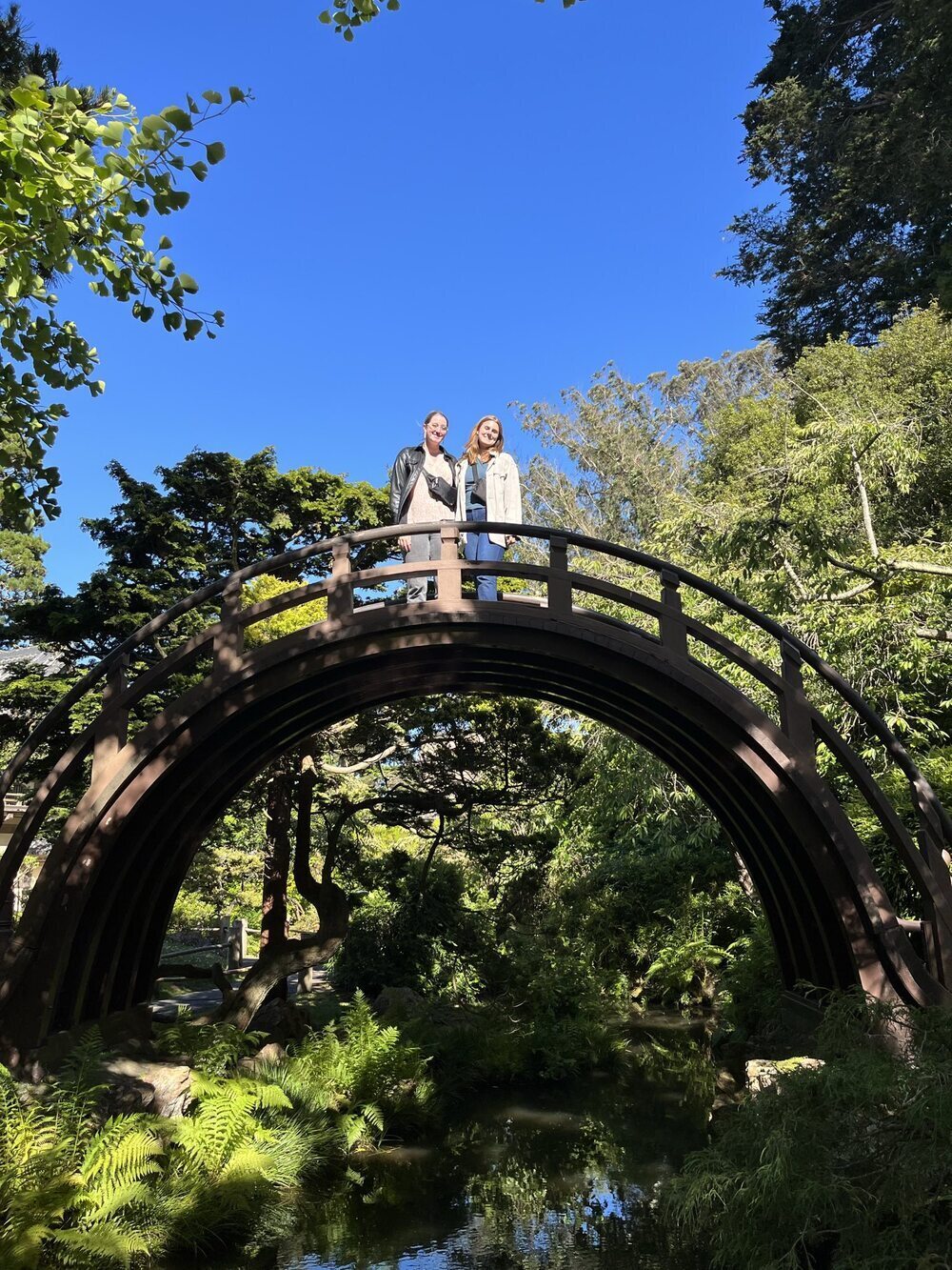
California Academy of Sciences and the Japanese Tea Garden
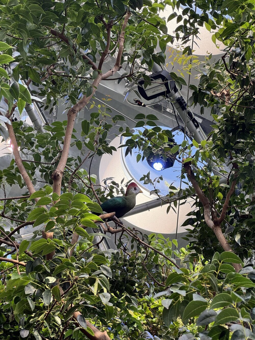
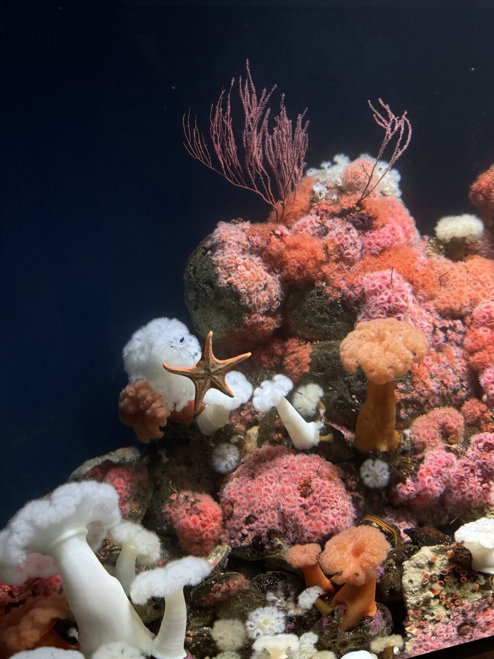
We walked around the California Academy of Sciences. We especially liked seeing their indoor rainforest and their aquarium. After we finished at the museum, it was a short walk to the Japanese Tea Garden where we enjoyed some tea and walked around the peaceful garden. We especially liked climbing the arched bridge.
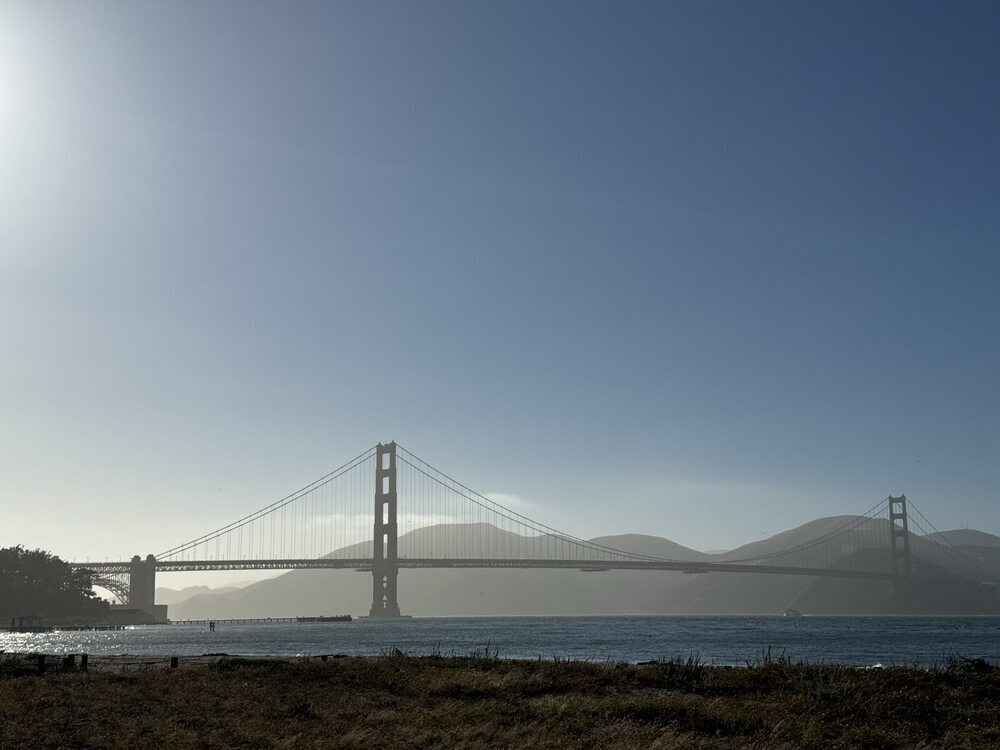
Crissy Field
We enjoyed the walking path at Crissy Field. It was close to the shore and had a great view of the Golden Gate Bridge. It was a bit foggy on the day we went, but we still greatly enjoyed the walk.